
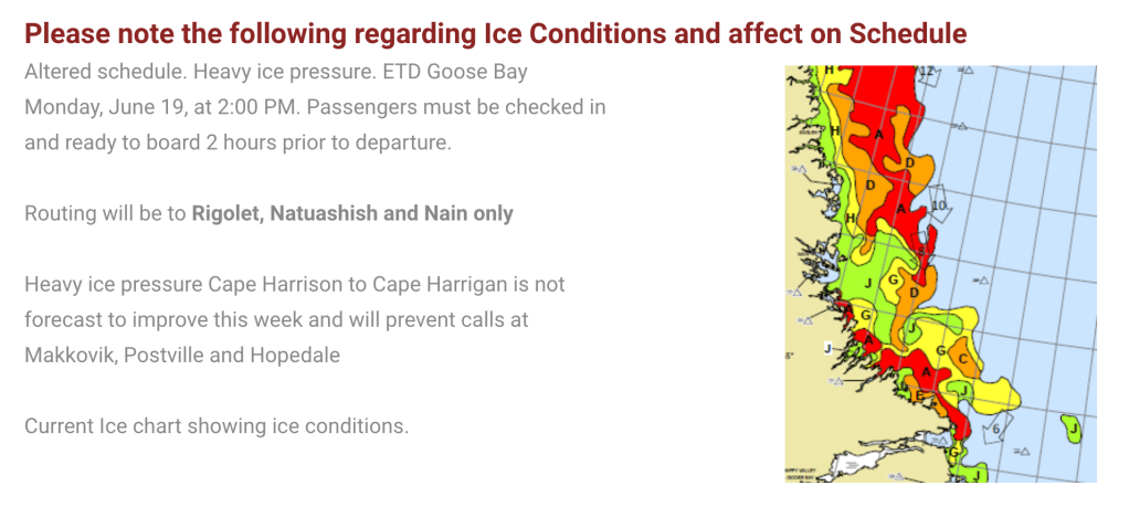
Today I am in Happy Valley-Goose Bay, Labrador. Waiting for the ferry north to Nain. I booked in June with the hope of seeing icebergs. Turns out there is so much ice that the ferry can’t get into or, in yesterday’s case, out of some ports. So my departure has been pushed out a day and three ports have been taken off the itinerary. But I still get to Nain, which is the far northern point of the ferry run. Nain was founded by Moravian missionaries in 1771.
For those not familiar with ice charts, the red means the water surface is 90% to 100% ice. That doesn’t mean icebergs, it can just be somewhat thin new ice, or packed in flow ice. The letters go to a key that makes that more clear. Bottom line, I should see plenty of ice. Headed out tomorrow, back on Friday, I think.

The docent at the Labrador Interpretation Center in North West River did tell me that I would likely see lots of marine life on the trip to Nain. She also had me start my tour of the center at an art installation. The quote above is from the introduction to the exhibit. I have been struggling with “home” and found the works timely.
And the ferry trip turns out to explore others’ homes. Rigolet is the southern most officially recognized Inuit community in the world. Inuit are traditional inhabitants of high latitude terrain. The next stop, Natuashish is an Innu community. The Innu are distinct but closely related to Eastern Cree, so they are traditionally arboreal and at the northern edge of their territory. Nain is the oldest permanent Inuit settlement. Spread throughout the southern range of this area are the Metis, descendants of European men and Inuit women, now called Nunatukavut. These three represent the three groups of indigenous people recognized by the Canadian government. Innu and Inuit have two different languages and many place names and business names are in one or the other language.
But I’ve gotten ahead of myself. I last posted from St. John’s and I’m about 1,000 miles from there now.
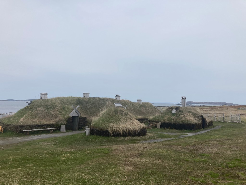
Above is a recreation of the only verified Norse presence in North America. This sits next to the actual archeological site. There are very well informed presenters in period costume on site. It is not a life I would want to lead. The site dates back to about the year 1000 CE.
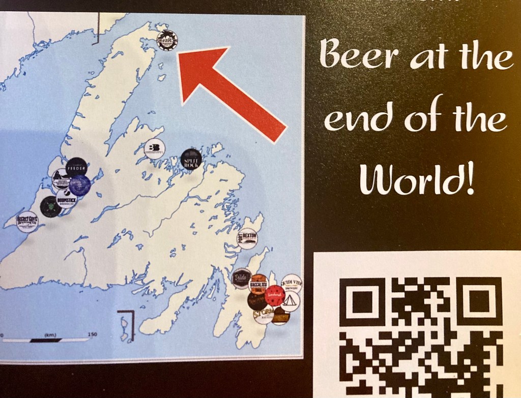
The picture at the top of the page is taken from the back porch of my hotel room, across the street from l’Anse aux Meadows. And just down the road in St. Anthony, is RagnaRock Brewery. I spent a couple of hours just chatting with one of the owners. Well, and tasting beer.
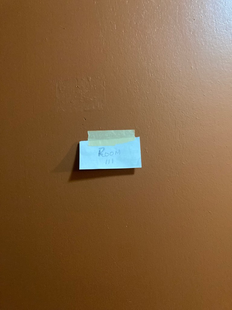
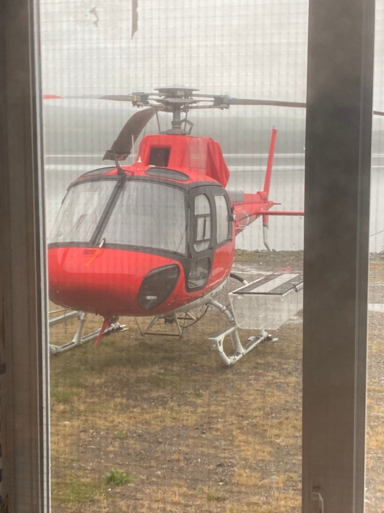
I took the ferry (another ferry) from St. Barbe, Newfoundland, to Blanc Sablon, Quebec, then a few hours up 510 to Port Hope Simpson, Labrador. The only option between Blanc Sablon and Happy Valley-Goose Bay. I can’t confirm, but it seems possible that room numbers are randomly assigned each morning? But they do have a helicopter.

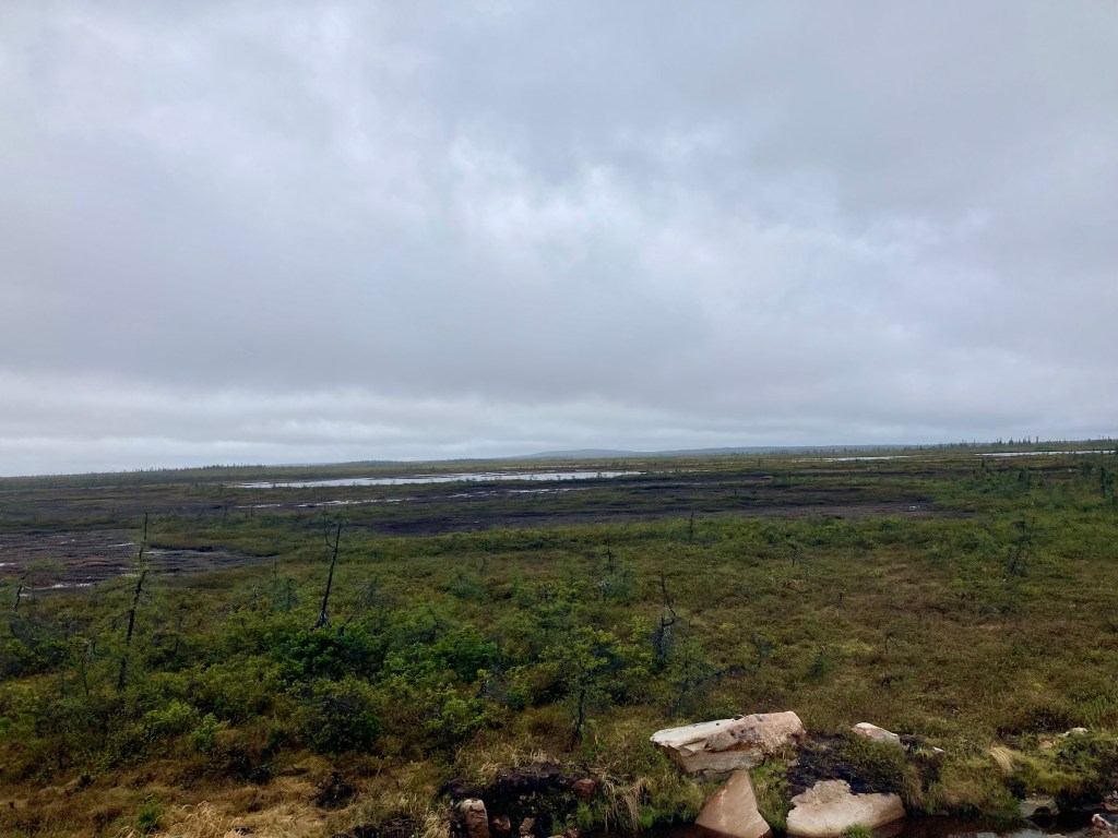
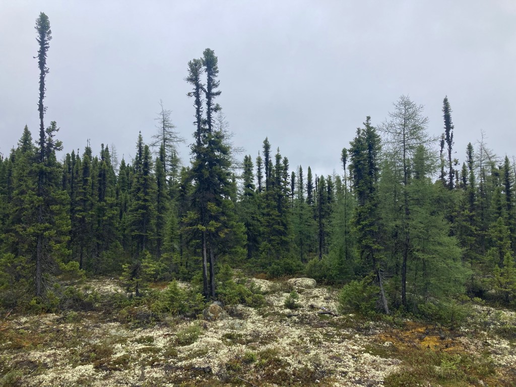
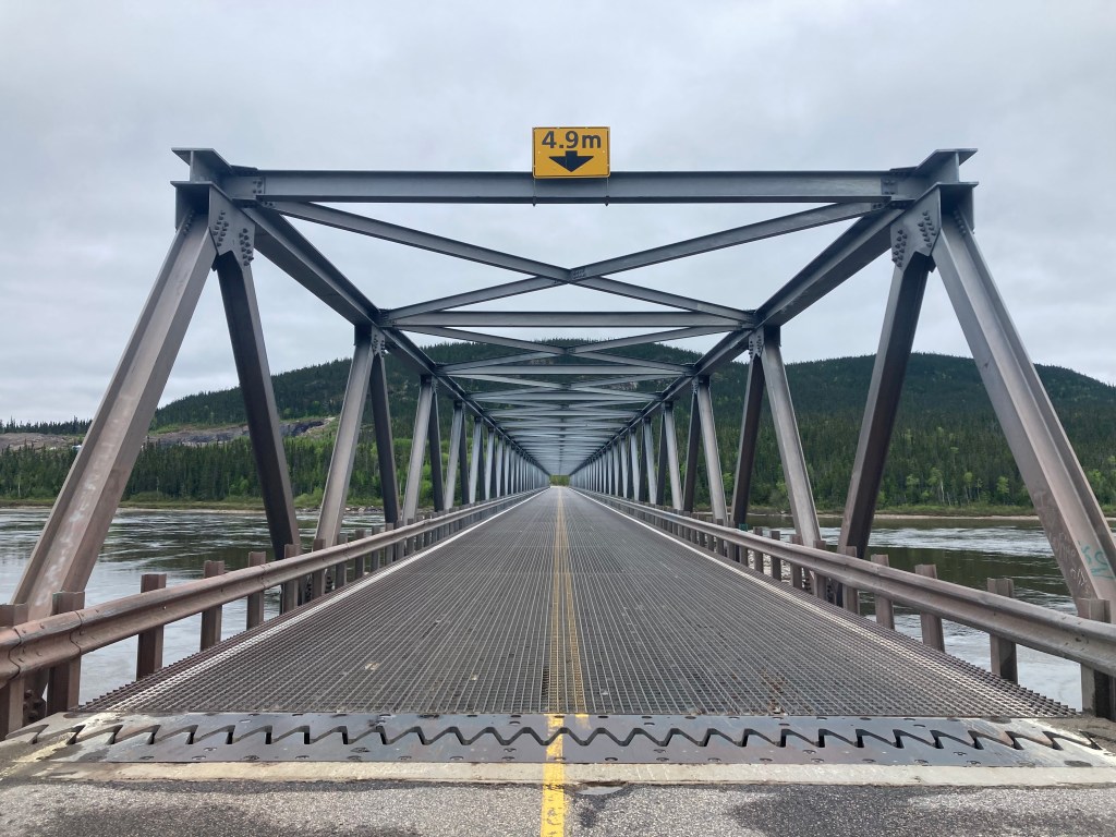
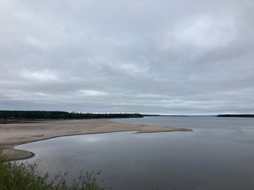
From Port Hope Simpson it is 410 km to the next town. Literally. I didn’t pass a single house in that distance. I saw 22 +/-3 vehicles and one bear. Below is the bridge at the end of 510, coming into Happy Valley-Goose Bay.
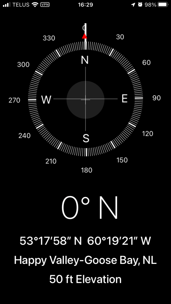
Which gets me caught up to the present. At 53+ Degrees North, headed north.
To add to the consideration of “Home”, this came up on a random shuffle of my iTunes. Charles Bukowski as interpreted by Tom Waits.
