Ran off the ferry on Monday after eight days on the water. Jumped in the car and headed west on the Trans-Labrador Highway. Homeward bound. Only fuel between Goose Bay and Labrador City is in Churchill Falls, a company town. 281 km to Churchill Falls, another 244 to Lab City.
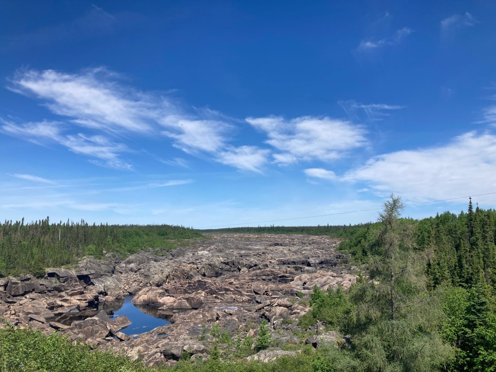
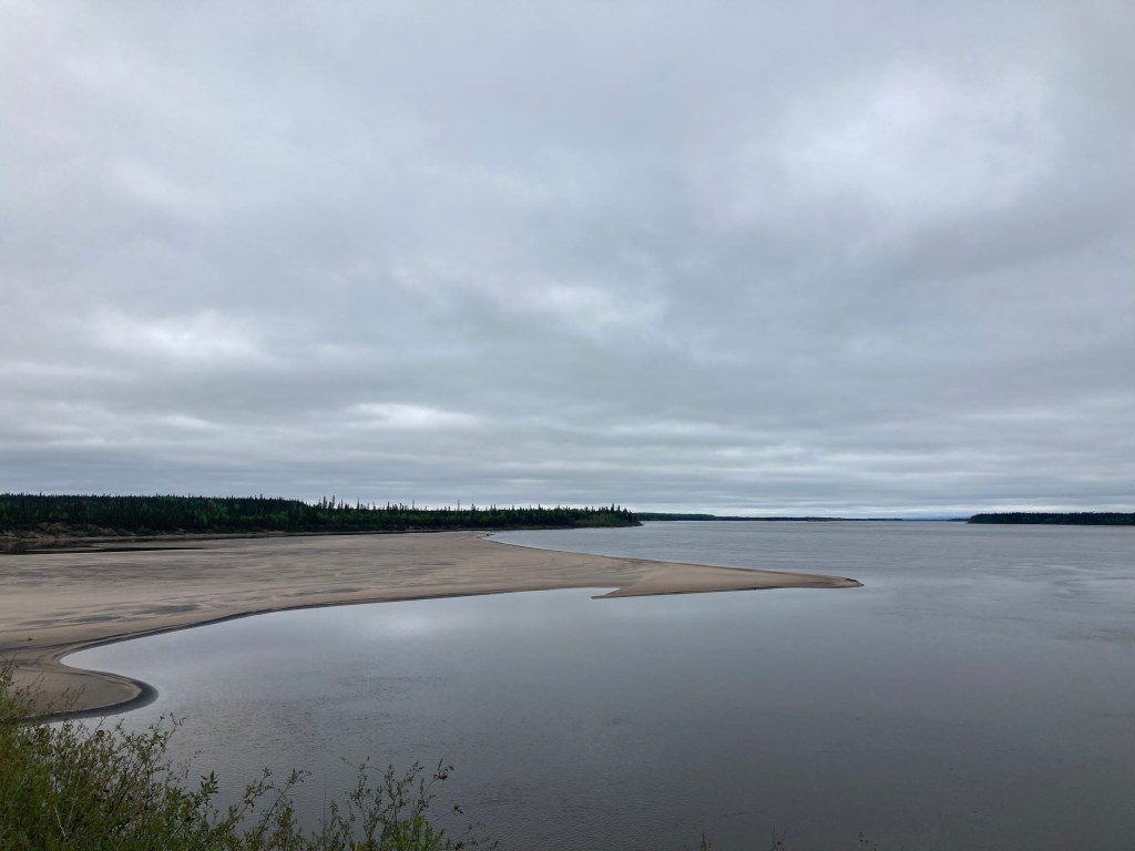
The “mighty” Churchill River. After Canada diverted it 900 feet underground in 1970 to generate power. At 5.4 mega-watts capacity, it is the 16th largest hydro-power station in the world.
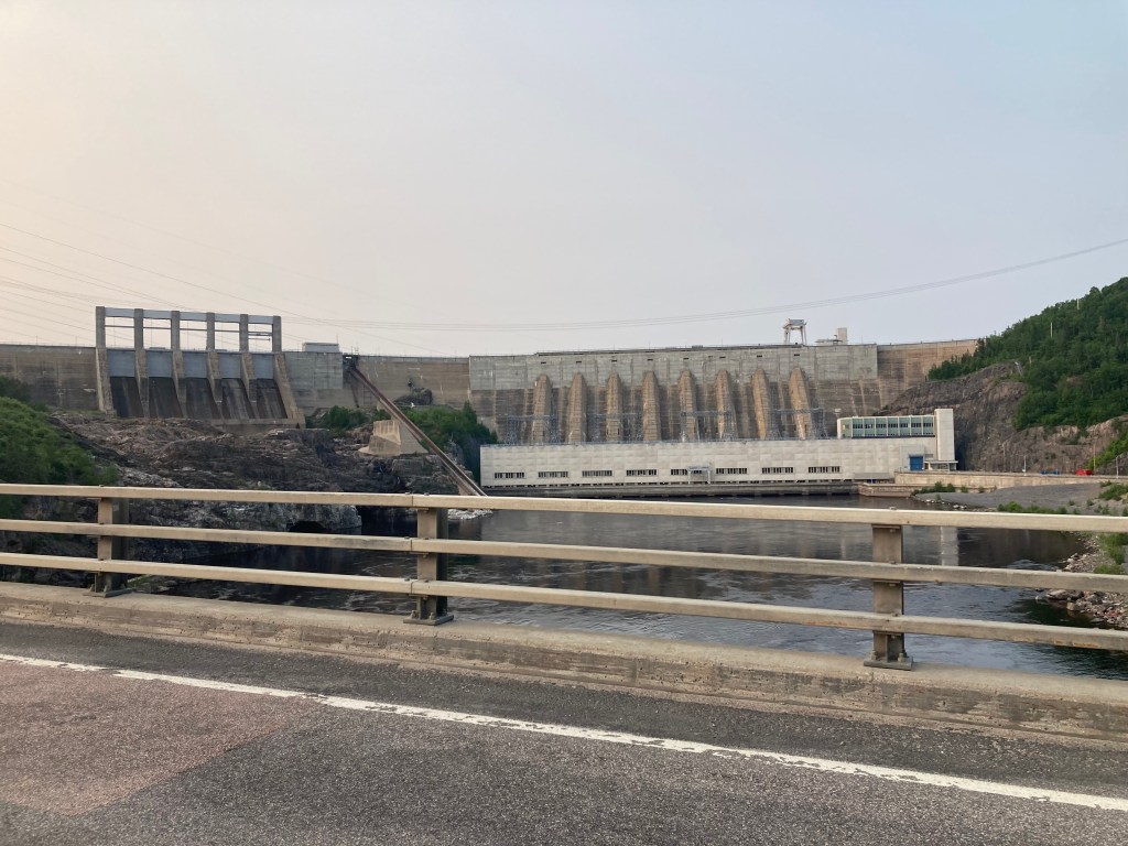
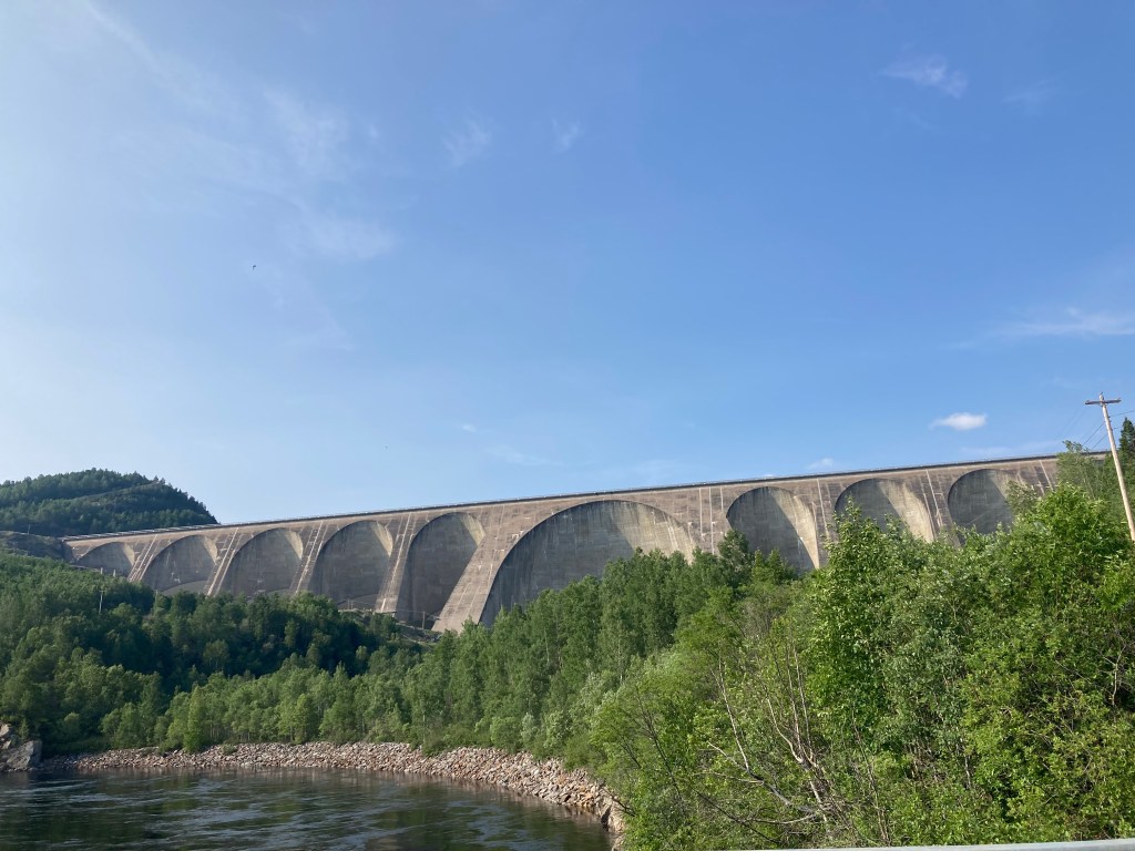
Hydro power is big here. MANIC-2 and MANIC-5 on Manicouagan River. Manic-5, at 2.2 million cubic meters of concrete is the largest dam of its type in the world. It forms a distinctive annular reservoir, filling the world’s fifth largest confirmed impact structure (meteor strike).
MANIC-2MANIC-5
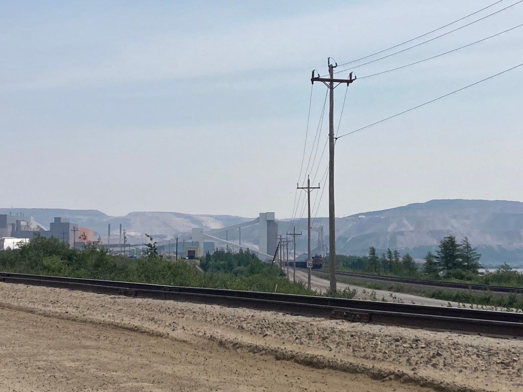
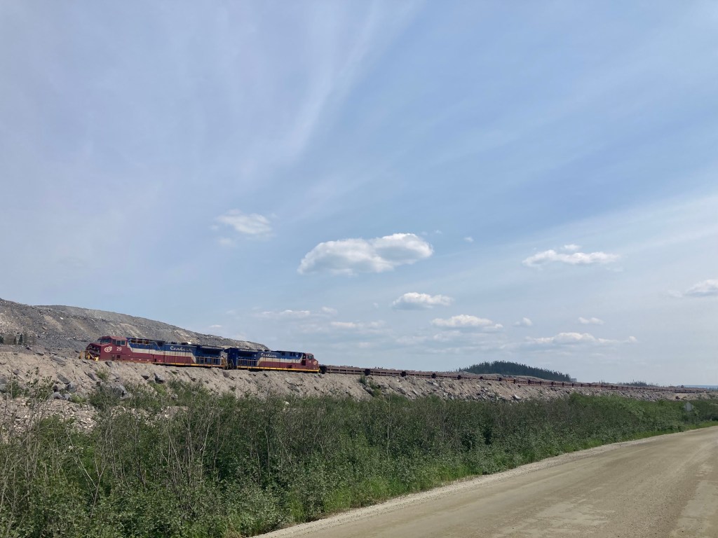
Water isn’t the only resource. Labrador city hosts North America’s largest open pit iron mine. The picture below doesn’t convey the massive scale very well. Quebec Route 389 skirts this for miles.
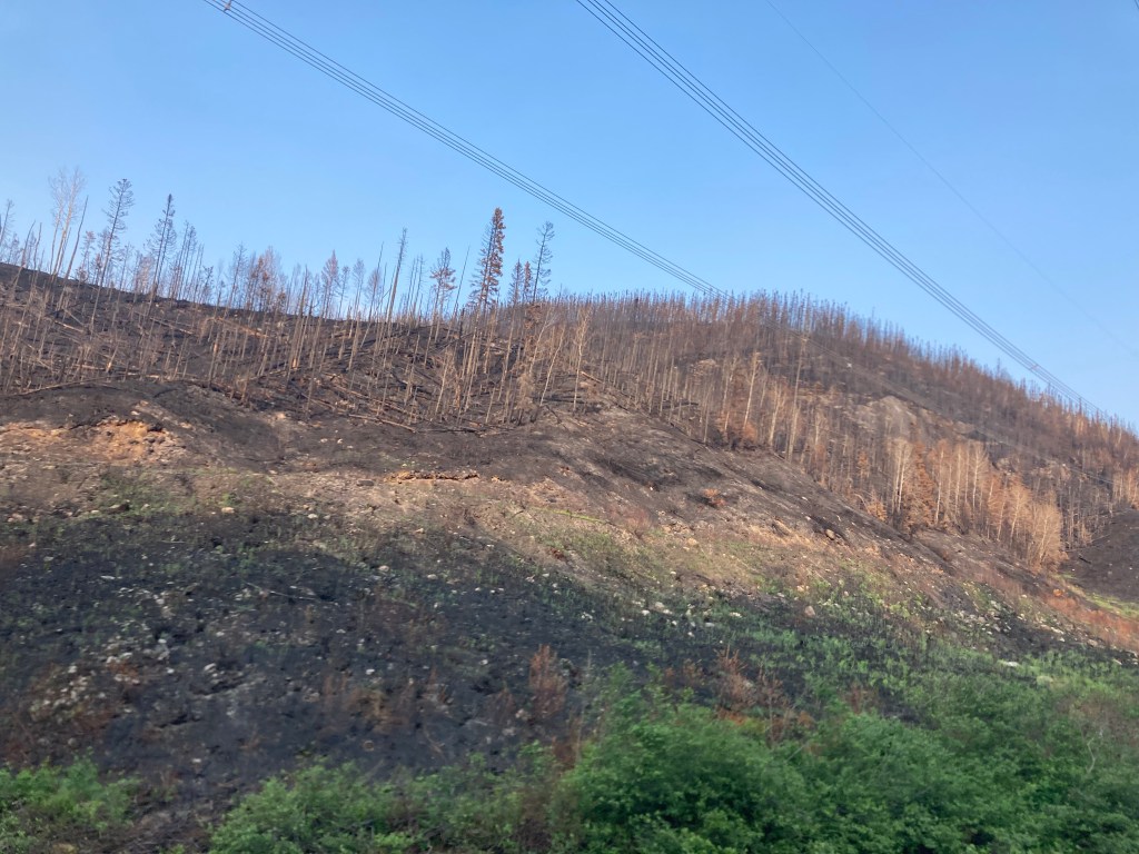
Quebec Wild Fires. The only road south was closed a day earlier
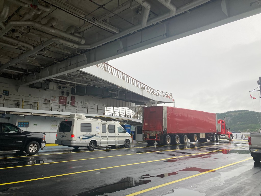
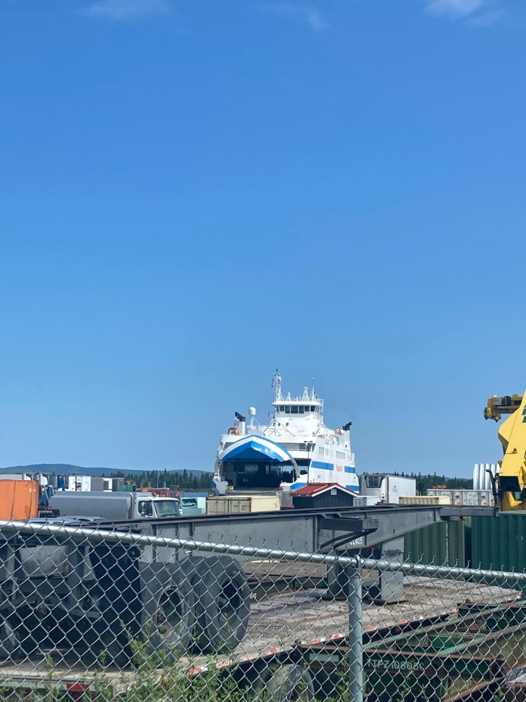
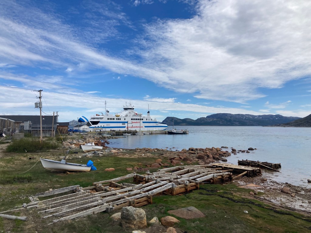
Apparently I couldn’t leave Canada without one last ferry ride. This one unplanned. Coming down Route 138 from Baie-Commeau to Quebec one enters Tadoussac and the road ends in a ferry. It’s free and runs every 20 minutes during the day.
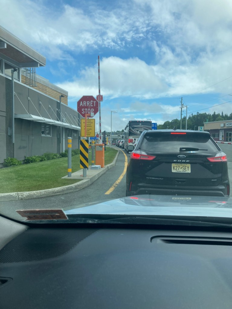
Back in the States after a brief wait at the border.
Here’s the whole route. Absolutely incredible. I highly recommend Labrador for a visit. I highly recommend Newfoundland for multiple visits. Something close to 6,000 miles all in. Plus ferries.
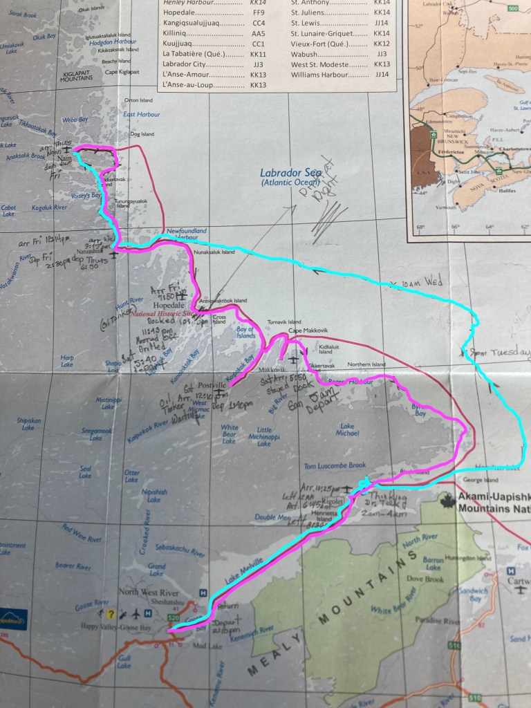
The blue line is the trip north, staying outside the worst of the ice pack and skipping three ports. Still plenty of ice and required the icebreaker the whole way.
The pink is the trip back, hugging the coast and getting into all five ports. And still had the icebreaker all the way back to Lake Melville.
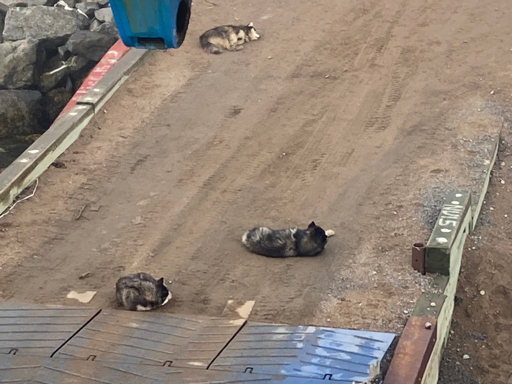
We stopped again in Natuashish, population 856, the only Innu community on the itinerary. Then on to Hopedale, population 596. Next was Postville, with 177. Finally Makkovic, with 365. It was high school graduation in Makkovic. Three graduates. The whole town turned out. A few came on board looking for potato chips with which to celebrate. Apparently they’ve been out of chips for months. Very happy to have the ferry running again. Unfortunately there were not nearly enough chips to meet demand.
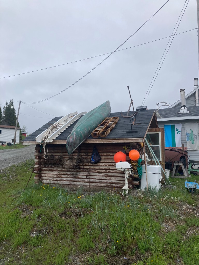
All of the Inuit communities were extremely welcoming and apparently happy to have fresh faces to talk with after a long winter. So interesting to hear of school life, fishing, and family life in these small, remote, northern communities.
From Makkovic, it was back to Rigolet, saying goodbye to the icebreaker on entering Lake Melville. Seven days of ice. From Rigolet we sailed overnight on open water back to Goose Bay. About three days delayed, but very pleased with the Journey.
HopedalePostvilleMakkovik
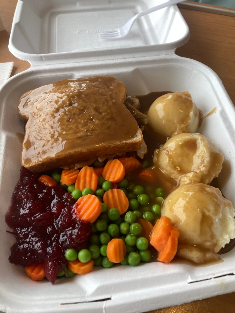
While we may have run out of chips, meals on the ferry did not lack for volume. My turkey sandwich. A slice of bread. And gravy. And another slice of bread. Three scoops of mashed potatoes. Carrots, peas, and cranberry sauce. And another ladle of gravy.
There were fifteen of us that made the round trip. A couple from Germany on a five year world tour in their very impressive German RV. They had already driven South America and a portion of Central America. Got sidetracked by COVID, and now had their RV shipped to North America and are continuing their trip. We had another German couple, two couples from Prince Edward Island, two couples from Ontario, a women from Maryland, and a retired member of the US Navy. And me. The variety made for great conversations as we milled from group to group and watched the ice go by, or compared notes from shore excursions. There is definitely something to be said for slow travel. Though it certainly doesn’t come naturally to me – I’m learning.
The plan was to leave Happy Valley-Goose Bay of Sunday the 18th with stops in Rigolet, Makkovik, Postville, Hopedale, Natuashish, arriving in Nain about 23:30 on Tuesday. Departing Nain at 0900 Wednesday and reversing the trip, arriving back in Goose Bay about 06:30 on Friday. Hoping to see some icebergs and sea life somewhere along the way. That was the plan.
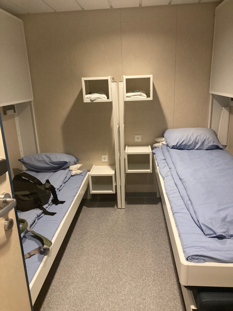
Loading in Goose BayFour bunks to a cabin. I’ve got mine to myself
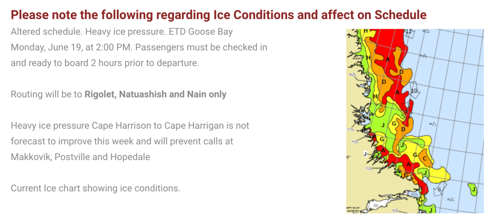
As I mentioned in my last post, that plan got seriously bent when the ferry couldn’t get back to port on time due to excessive ice on the southern circuit. My trip north was delayed 24 hours and Makkovik, Postville, and Hopedale were stricken from the itinerary because there was too much ice along that section of the coast to get into the ports. All in, maybe that was a wash – we leave a day late, but don’t have three stops to make, and we get back to Goose Bay on time and the ferry service is back on schedule.
First stop Rigolet. Six and a half hours from Goose Bay. Except for us. Eight hours later we are in Rigolet, a little late, but uneventful leg. Although at this point, I learn that we will have no cell service and no WiFi, at least until Nain, and maybe not then. A quick stop for passenger and freight to unload and we are back underway about 22:30. Off to bed while we start the crossing to Natuashish. The plan is to sail out past the ice, up the coast, re-cross the ice to get to port. The crew is very vague on how long that might take. Looking at the normal itinerary, I am guessing 24 hours. I later learn that they have never tried this before.
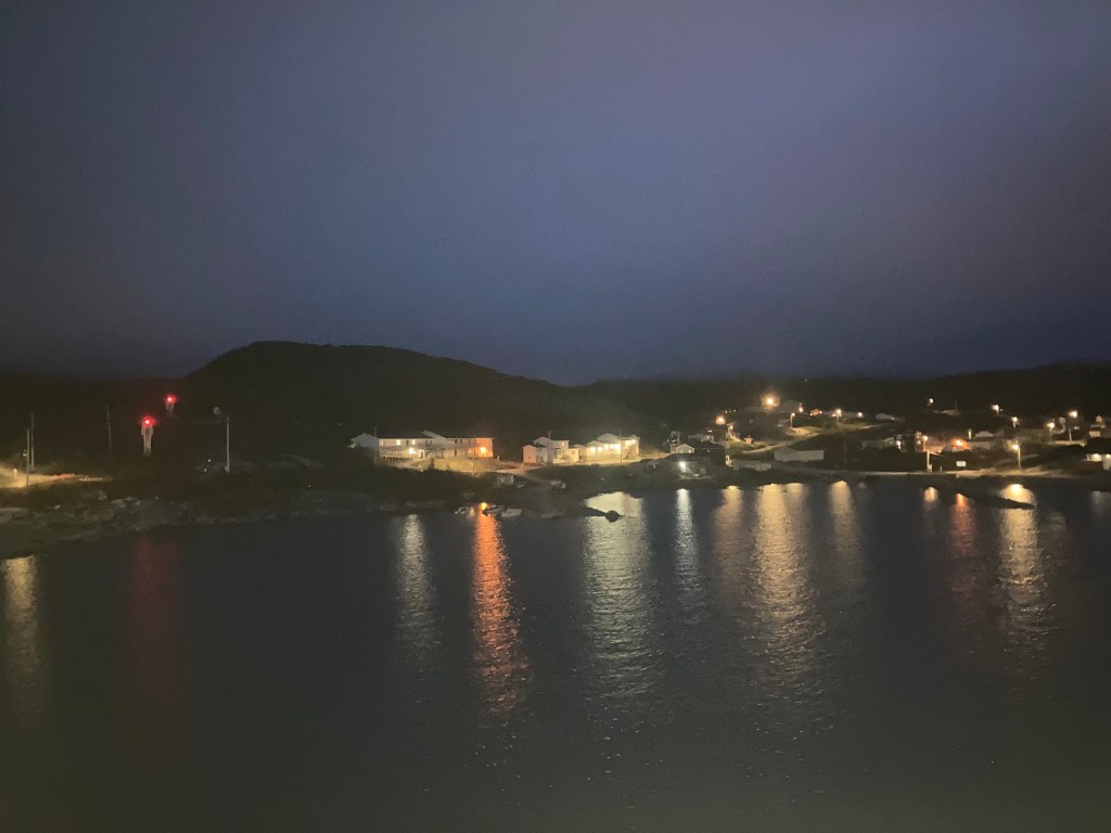
Rigolet. The first time.
I wake up and go out on deck at 06:00 Tuesday and am surprised to see we are pulling into port. When I ask the Purser where we are, I am told, Rigolet! A crew member slipped and hurt themselves overnight. We have returned to Rigolet to get them flown back to Goose Bay for treatment. We depart Rigolet at 09:30, now 35 hours behind schedule. But it is a beautiful sunny day.
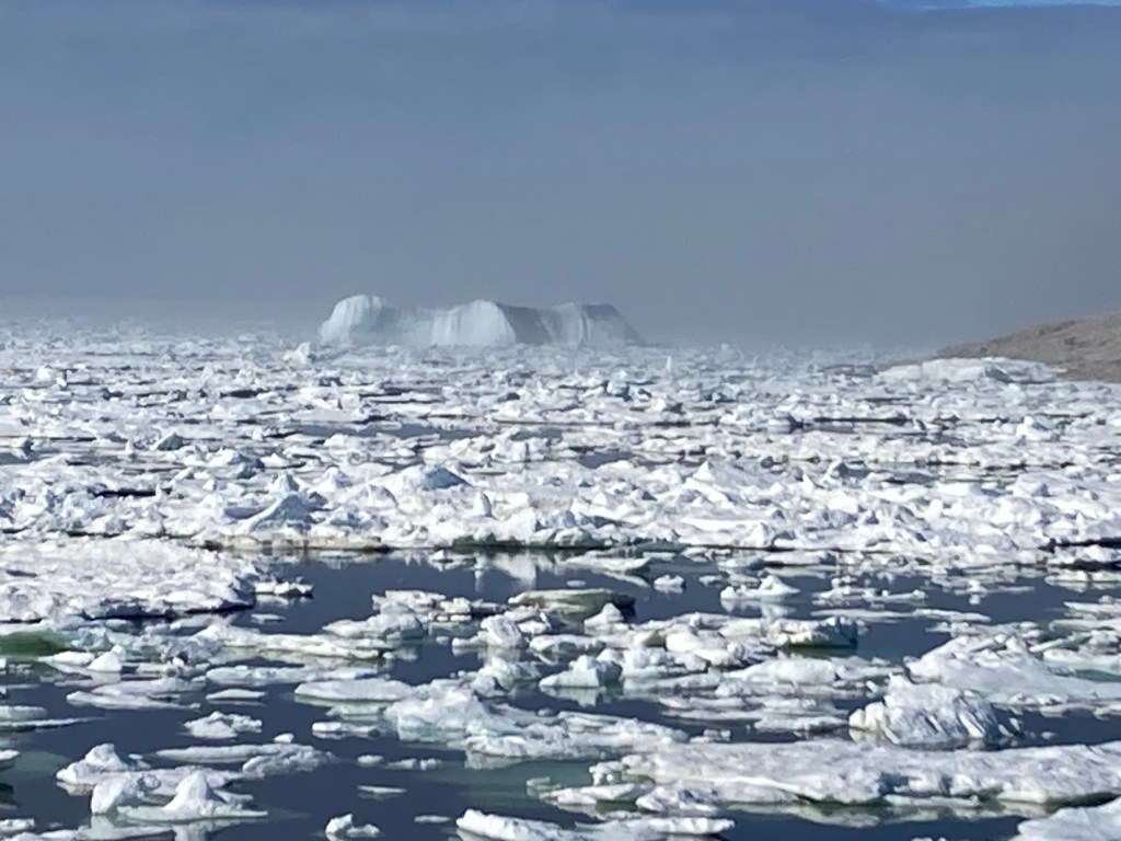
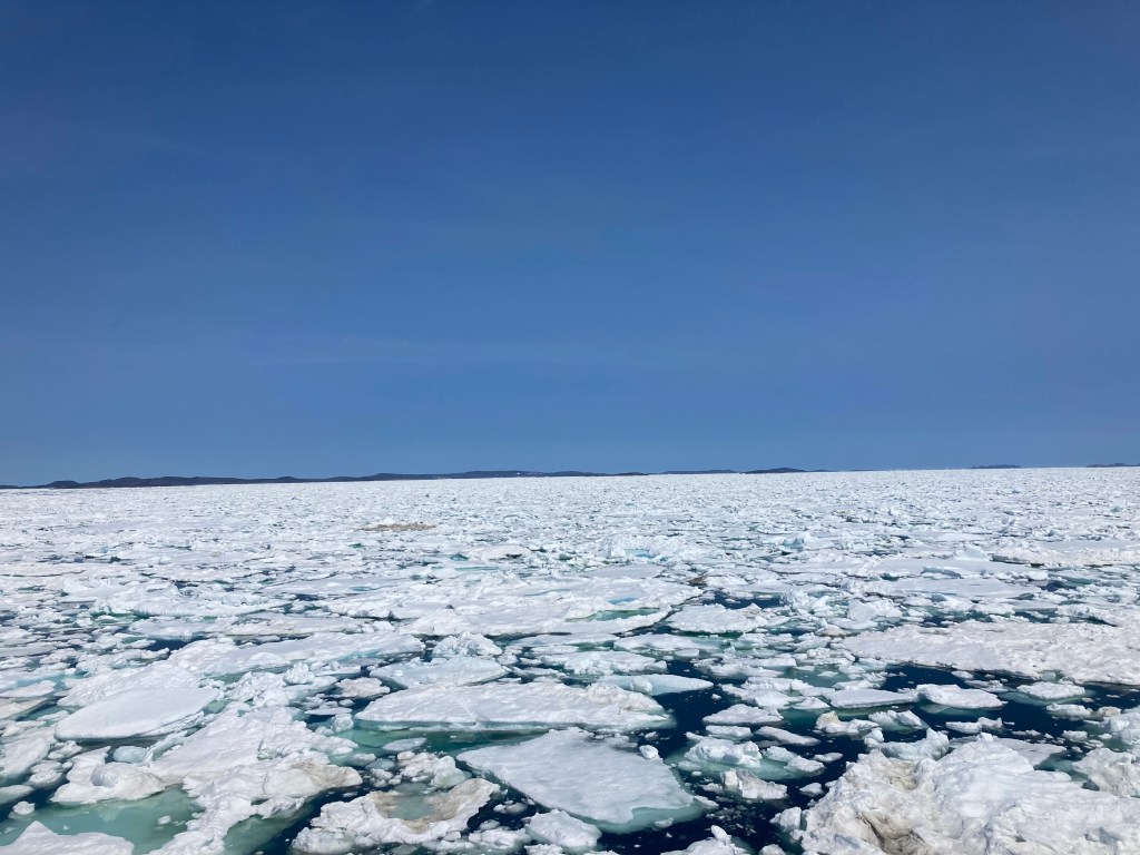
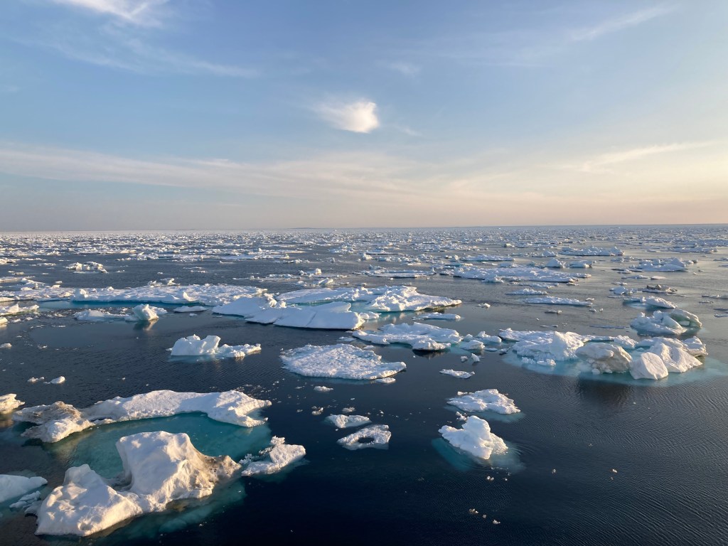
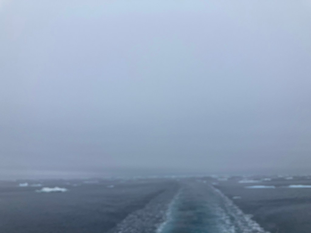
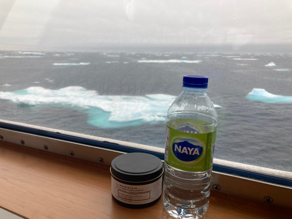
A beautiful day to meet up with the icebreaker. Have I mentioned the icebreaker? No? That’s because I had no idea. And where do you think we meet the icebreaker? Correct, right in front of the sea of ice. Which is absolutely amazing! But. Do you think we sail faster or slower when traveling through ice? And I learn, the icebreaker doesn’t sail 24/7. I’m unclear if that is because they aren’t crewed for round the clock operations, or it is unsafe to operate in the dark. It seems everyone is unclear on that.
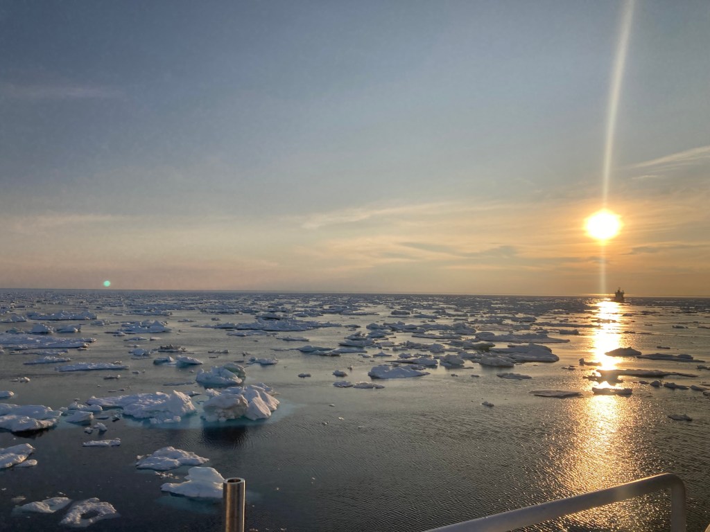
Whatever the reason, we and the icebreaker come to a dead stop at 20:30 on Tuesday and drift in the ice. I have an inside berth with no windows. It is dark. I do not think there is any actual sound, but the ship rumbles and vibrates every time a piece of ice strikes the hull. I marvel at this through the night. At 07:00 Wednesday we resume our sail, following the reinvigorated icebreaker. The crew will offer no estimates of when we will arrive in Natuashish. I borrow the Purser’s satellite connected tablet to send out a quick email to family.
Wednesday is gray, windy, and rainy. Sail on!
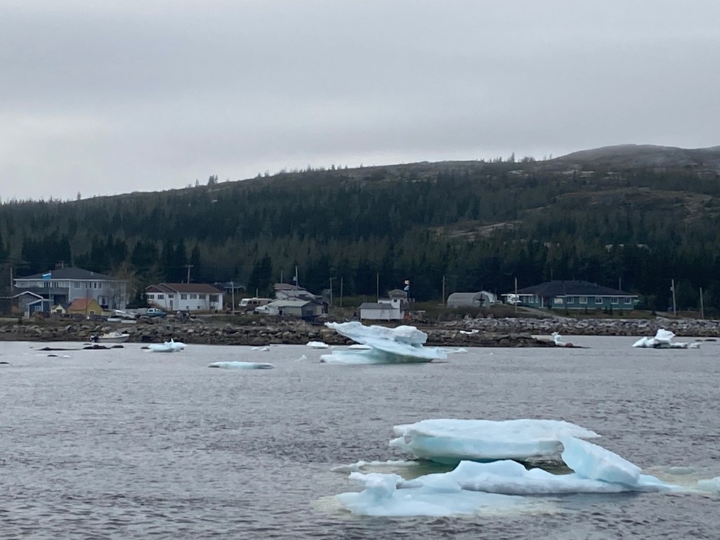
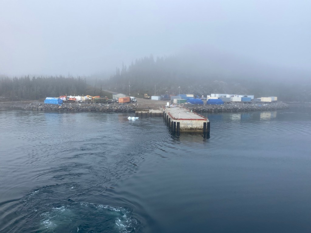
We dock at Natuashish, population about 300, at 22:00 to unload passengers and freight. This is the first freight delivery since last Fall when ferry service stopped. Sunset is at 21:47 local time, so we won’t be getting underway until the morning.
Natuashish
This is the Solstice, Litha, the longest day of the year. I did try to light a candle for Litha; wind and rain on deck made that impossible. I thought lighting a candle inside the boat would get me marooned in Natuashish. I did my best to think Litha appropriate thoughts.
We depart Natuashish at 07:00 on Thursday, with our ice breaker, bound for Nain. Warm and foggy this morning. The sun seems to be trying to burn through. 37 hours behind.
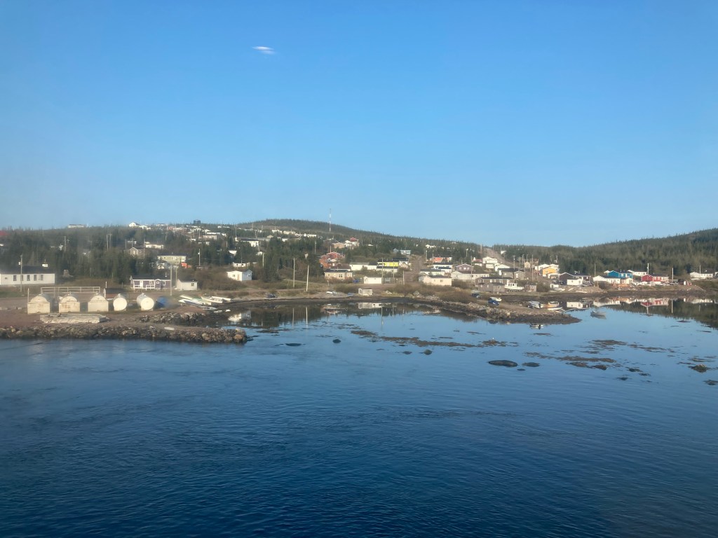
Arrived in Nain and went ashore for a few hours. And a cell signal! Will post this and then provide an update when I get back to Goose Bay.
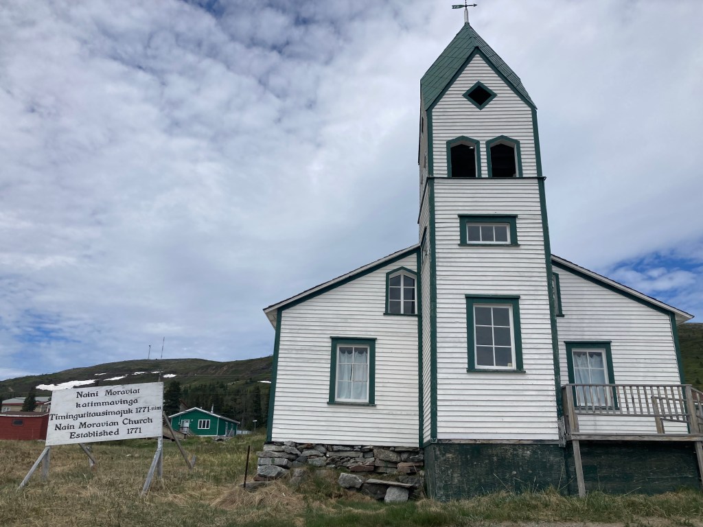
Today I am in Happy Valley-Goose Bay, Labrador. Waiting for the ferry north to Nain. I booked in June with the hope of seeing icebergs. Turns out there is so much ice that the ferry can’t get into or, in yesterday’s case, out of some ports. So my departure has been pushed out a day and three ports have been taken off the itinerary. But I still get to Nain, which is the far northern point of the ferry run. Nain was founded by Moravian missionaries in 1771.
For those not familiar with ice charts, the red means the water surface is 90% to 100% ice. That doesn’t mean icebergs, it can just be somewhat thin new ice, or packed in flow ice. The letters go to a key that makes that more clear. Bottom line, I should see plenty of ice. Headed out tomorrow, back on Friday, I think.
The docent at the Labrador Interpretation Center in North West River did tell me that I would likely see lots of marine life on the trip to Nain. She also had me start my tour of the center at an art installation. The quote above is from the introduction to the exhibit. I have been struggling with “home” and found the works timely.
And the ferry trip turns out to explore others’ homes. Rigolet is the southern most officially recognized Inuit community in the world. Inuit are traditional inhabitants of high latitude terrain. The next stop, Natuashish is an Innu community. The Innu are distinct but closely related to Eastern Cree, so they are traditionally arboreal and at the northern edge of their territory. Nain is the oldest permanent Inuit settlement. Spread throughout the southern range of this area are the Metis, descendants of European men and Inuit women, now called Nunatukavut. These three represent the three groups of indigenous people recognized by the Canadian government. Innu and Inuit have two different languages and many place names and business names are in one or the other language.
But I’ve gotten ahead of myself. I last posted from St. John’s and I’m about 1,000 miles from there now.
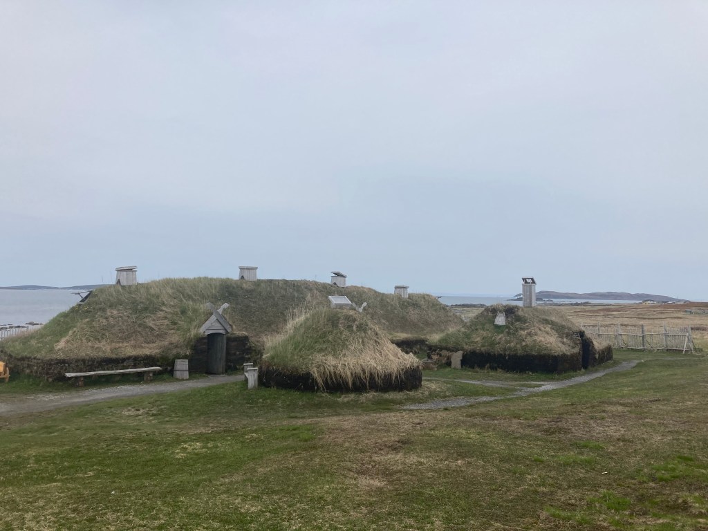
Above is a recreation of the only verified Norse presence in North America. This sits next to the actual archeological site. There are very well informed presenters in period costume on site. It is not a life I would want to lead. The site dates back to about the year 1000 CE.
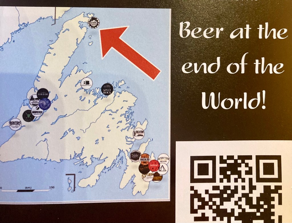
The picture at the top of the page is taken from the back porch of my hotel room, across the street from l’Anse aux Meadows. And just down the road in St. Anthony, is RagnaRock Brewery. I spent a couple of hours just chatting with one of the owners. Well, and tasting beer.
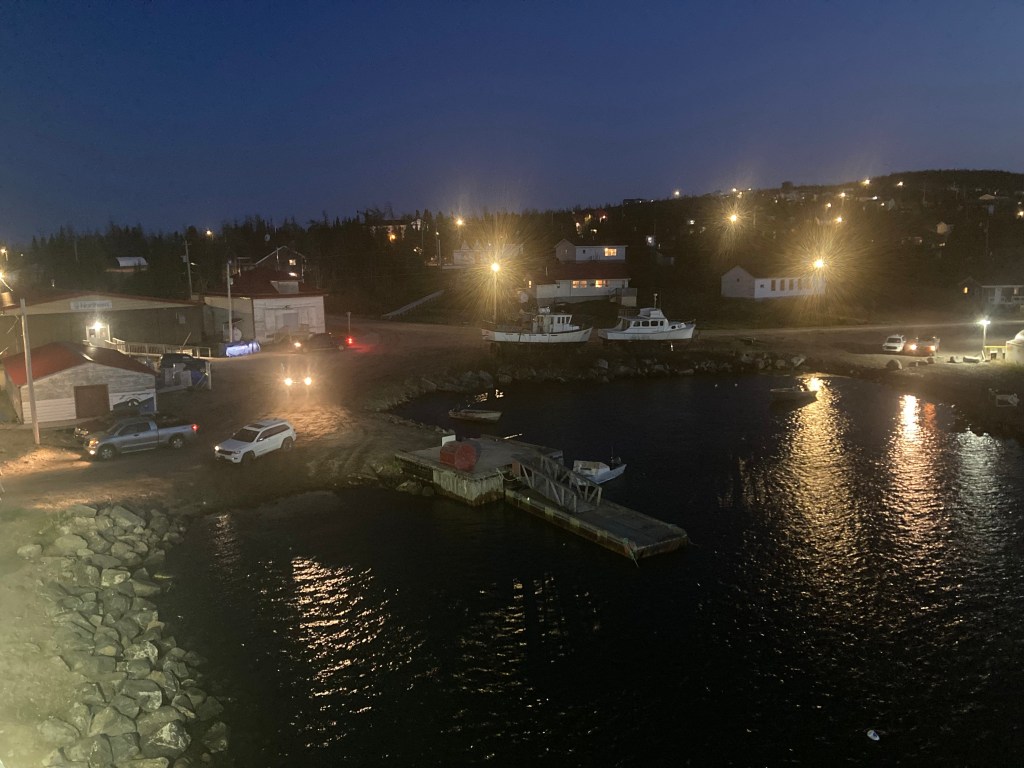
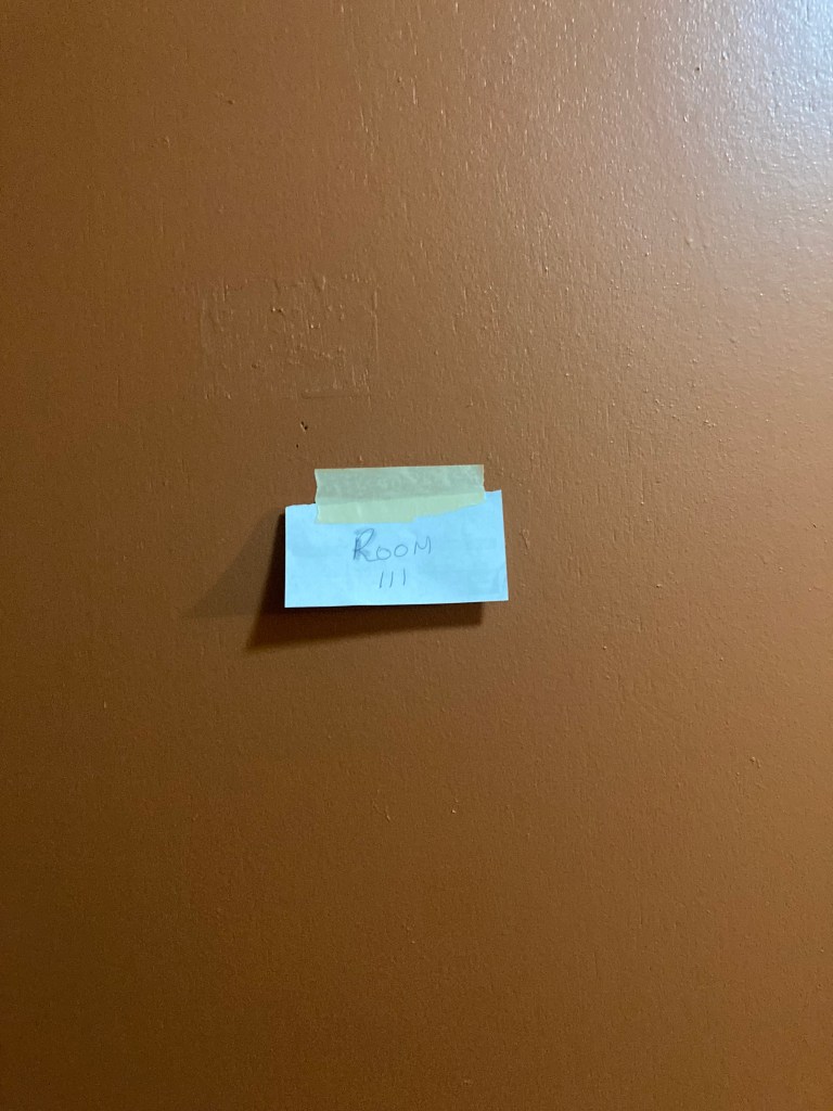
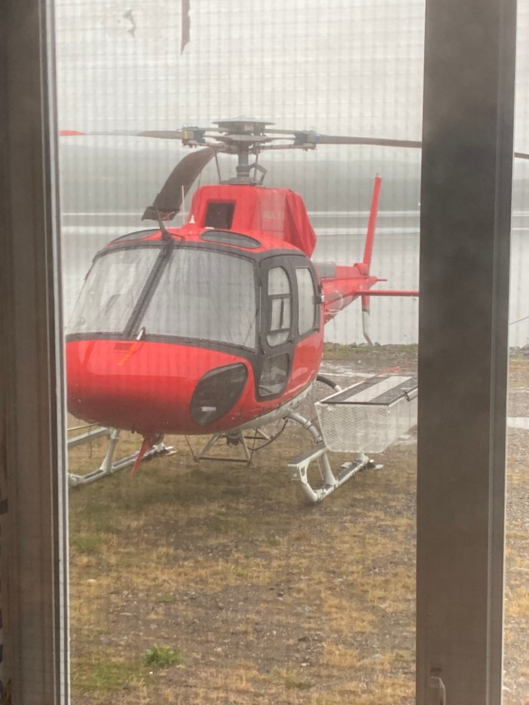
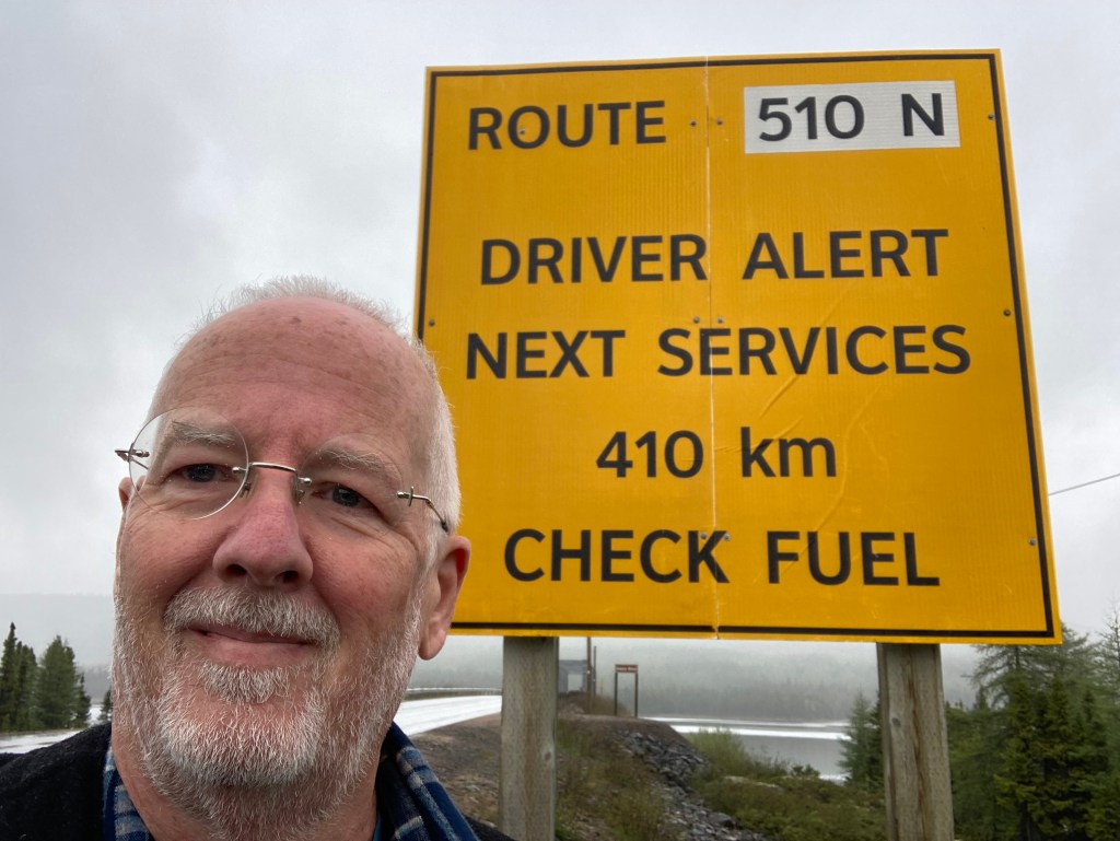
I took the ferry (another ferry) from St. Barbe, Newfoundland, to Blanc Sablon, Quebec, then a few hours up 510 to Port Hope Simpson, Labrador. The only option between Blanc Sablon and Happy Valley-Goose Bay. I can’t confirm, but it seems possible that room numbers are randomly assigned each morning? But they do have a helicopter.
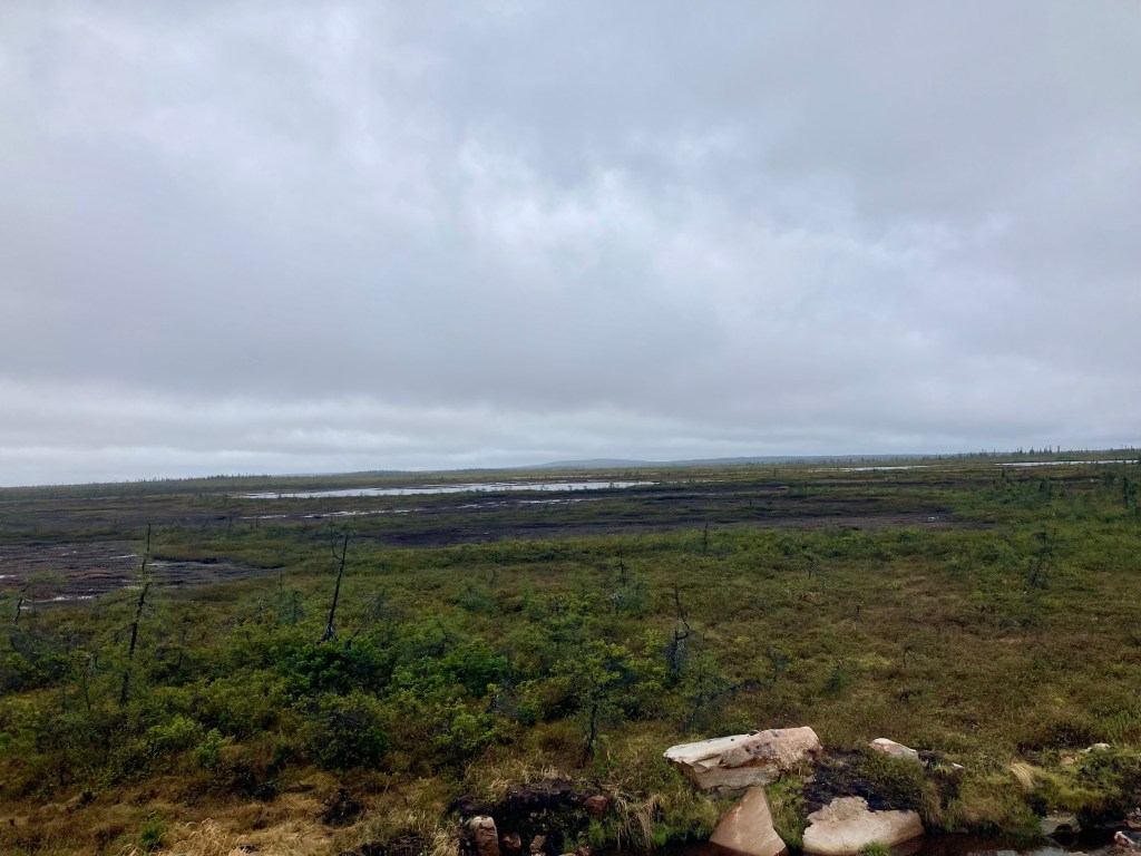
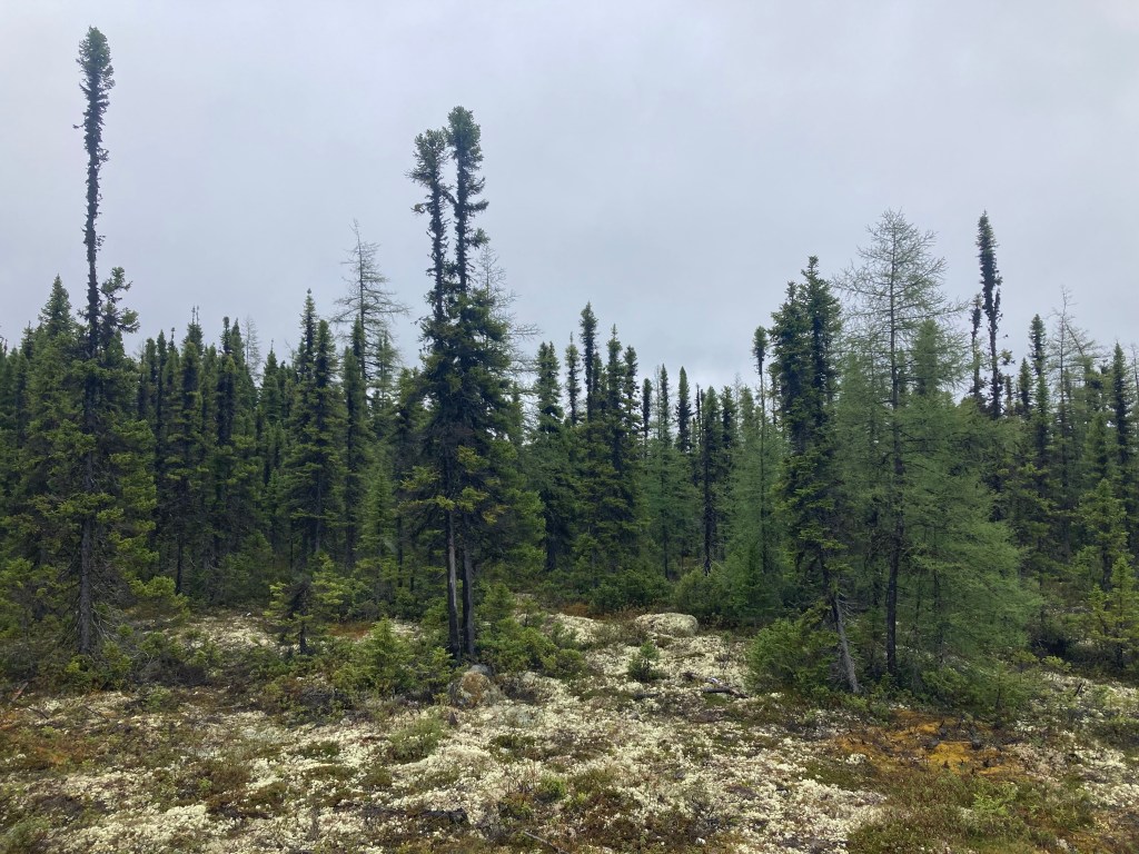
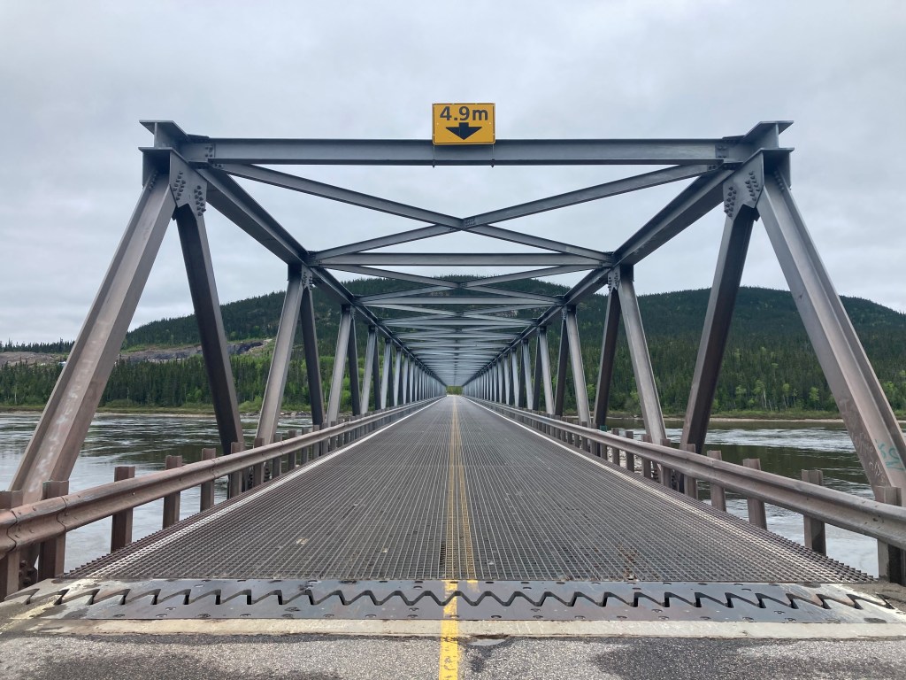
From Port Hope Simpson it is 410 km to the next town. Literally. I didn’t pass a single house in that distance. I saw 22 +/-3 vehicles and one bear. Below is the bridge at the end of 510, coming into Happy Valley-Goose Bay.
Veterans’ Memorial BridgeChurchill River, Happy Valley-Goose Bay, Labrador
Which gets me caught up to the present. At 53+ Degrees North, headed north.
To add to the consideration of “Home”, this came up on a random shuffle of my iTunes. Charles Bukowski as interpreted by Tom Waits.