I’ve been to… Crater Lake (and Lava Beds National Monument)

It’s been since January that I’ve been able to check off one of the cities from the song (https://everywhere-man.com/2026/01/26/ive-been-to-chatanika-ak/). This makes 46 out of 79. I guess this isn’t really a city, it’s a place. And what a place!

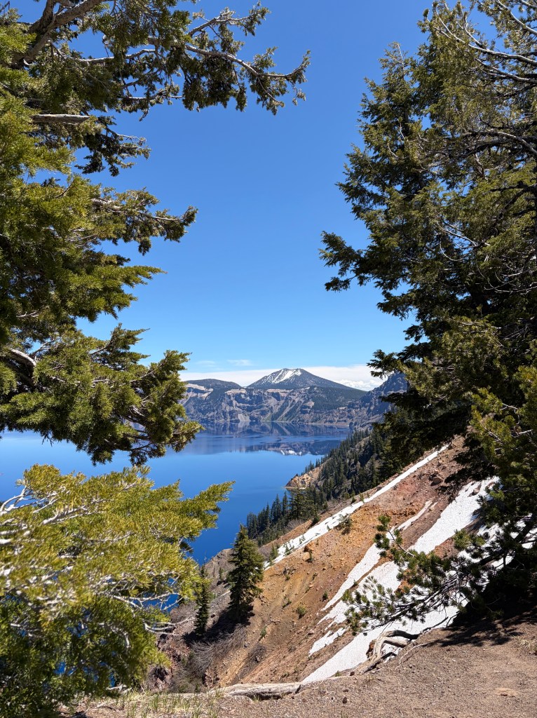
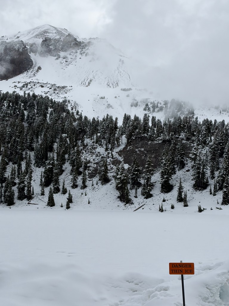
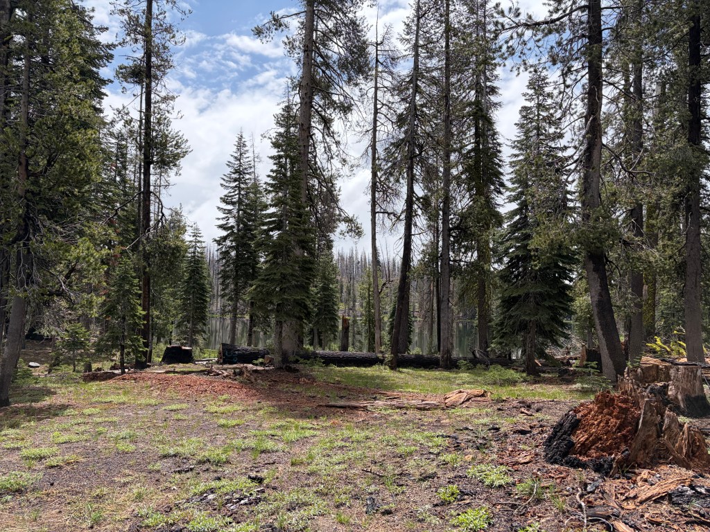
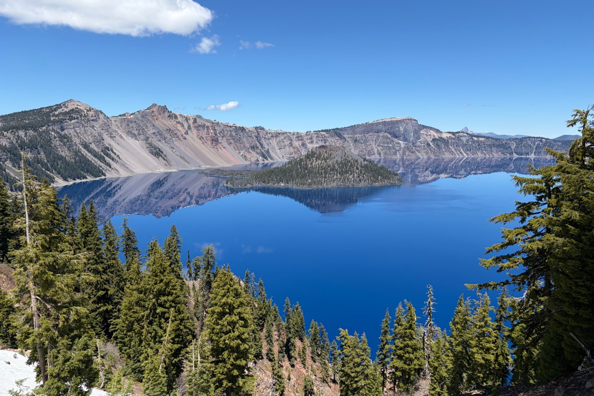
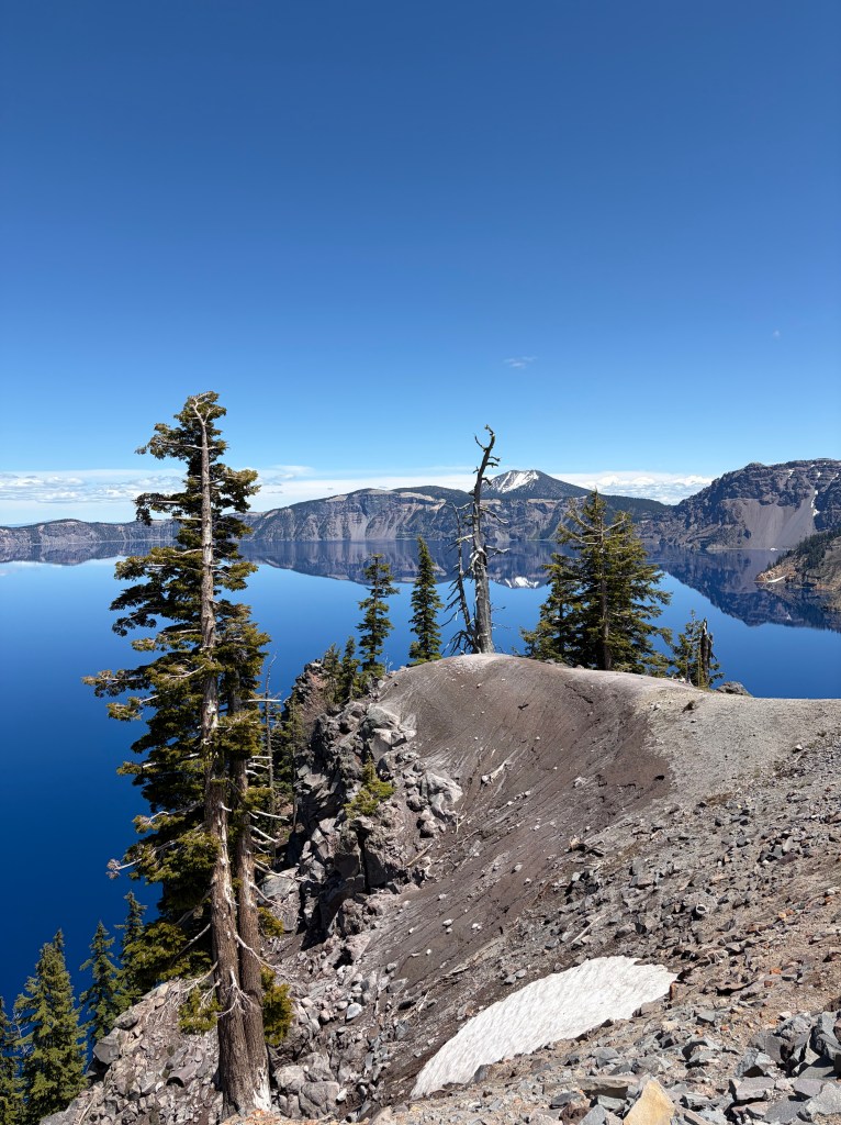
My vantage points were limited because the Rim Drive is still closed because of snow. Crater Lake averages 41 feet of snow every year and at 7 to 8 thousand feet elevation, it takes until mid-June to July for the road to open. But there is about two miles of trail open around the Rim Village with great views of the water about 1,000 feet below.

Prior to the eruption that formed the crater, Mount Mazama rose to about 12,000 feet. Then about 7,700 years ago a massive eruption ejected an estimated 41 cubic miles of material and reduced the height of the mountain by almost a mile. While the current lake surface sits at about 6,173 feet, the maximum depth of the lake is 1,943 feet making it the deepest lake in the US.
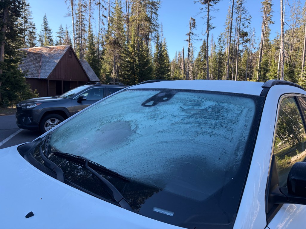
I have to say, finding frost on the windshield in the morning was a bit of a surprise in June. But it makes the late opening of the Rim Road feel real.

Lava Beds National Monument

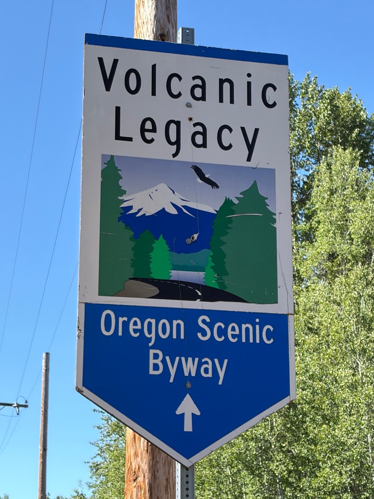
Wanting to hit all the major points in the newly discovered, to me anyway, Volcanic Legacy Scenic Byway, after leaving Crater Lake I dropped down to see Lava Beds National Monuments. I had no idea what to expect.
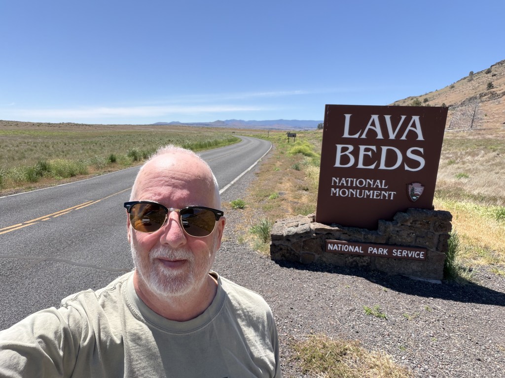
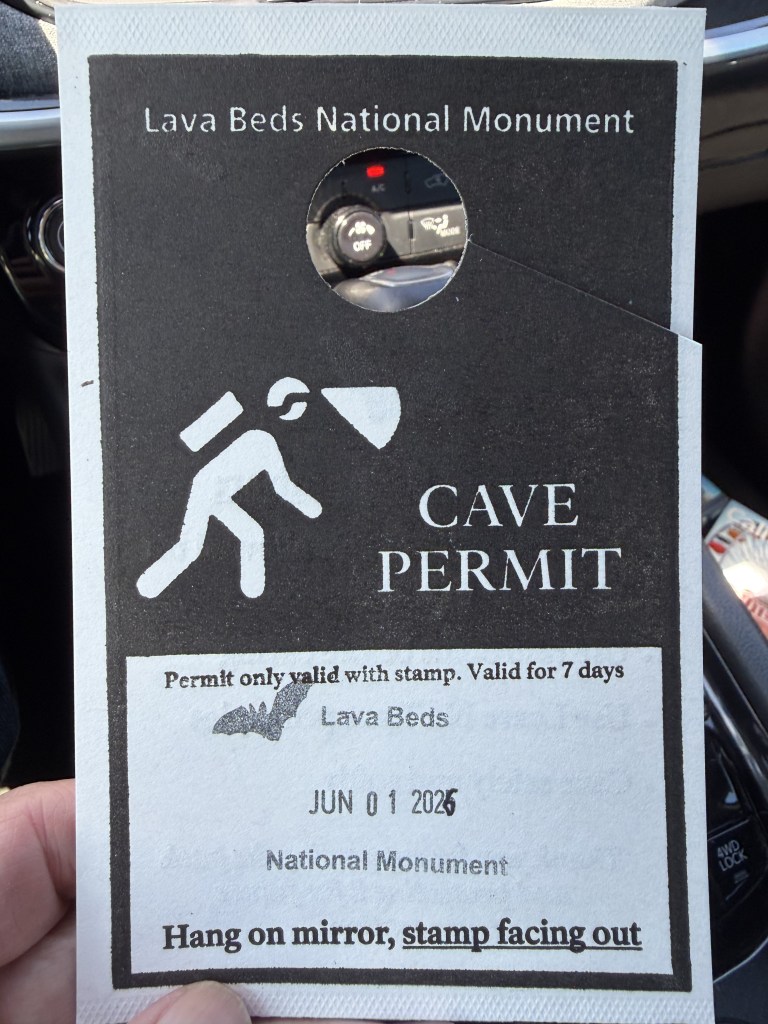
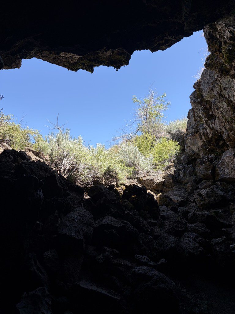
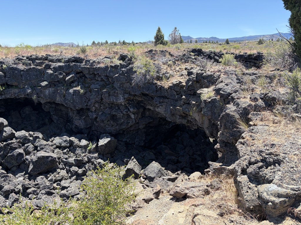
It turns out that what I should have expected was caves! There are also lava beds. But the big draw is about 20 different visitor accessible caves. White-nose Syndrome has had a devastating impact on bat populations across the country. But it is not yet present in Lava Beds. To try and keep it that way, visitors must certify that they have been in no other caves in the last 18 months. And for that you get a Cave Permit. I don’t know what you have to do as remediation if you say “yes”.

I started in Mushpot Cave. The Park Service guide describes this cave as, “Recommended as an introductory cave, interpretive signs explain formations, ecology, and cave climate. the cave is lighted.” As a bonus, I got to share the cave with 50 ten year old students.
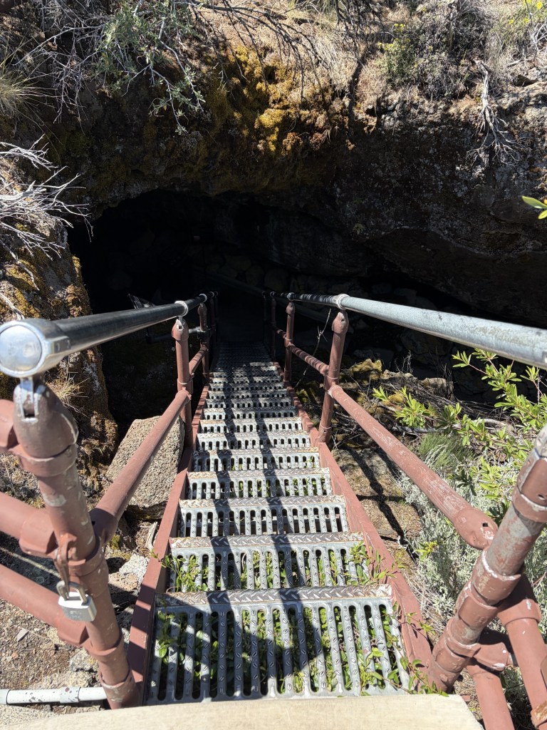
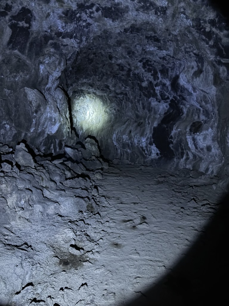
I chose Sentinel Cave next, after applying my recently revised estimate of physical capacity. This cave is still on the “Least Challenging Caves” list. It is not lighted or paved. I left the “Moderately Challenging” (requires stooping and have rough floors) and “Most Challenging” (crawling, all recommended safety gear, and “directionally challenging”) to those with helmets, knee pads, and gloves. As it was, I had to borrow a light from the Ranger Station.

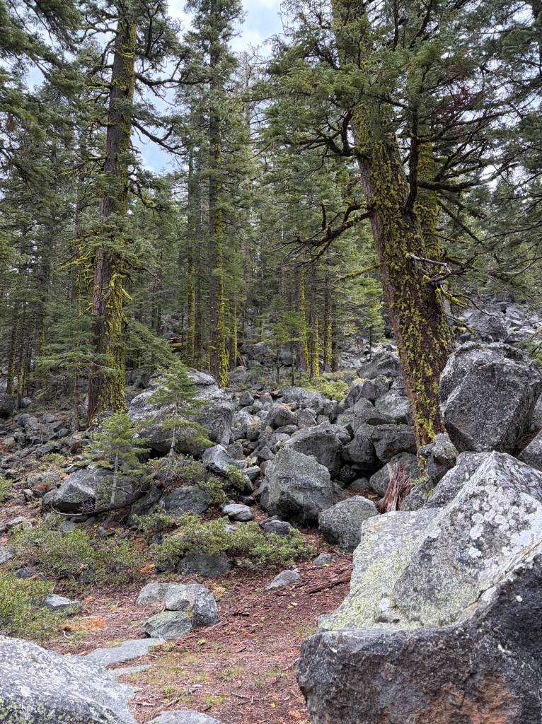
Eruptions of Medicine Lake Volcano 30,000 to 40,000 years ago formed over 900 lava tube caves in the park. As streams of lava flow, the outside cools and hardens. The inside remains molten and drains, forming tubes.
Mount Shasta

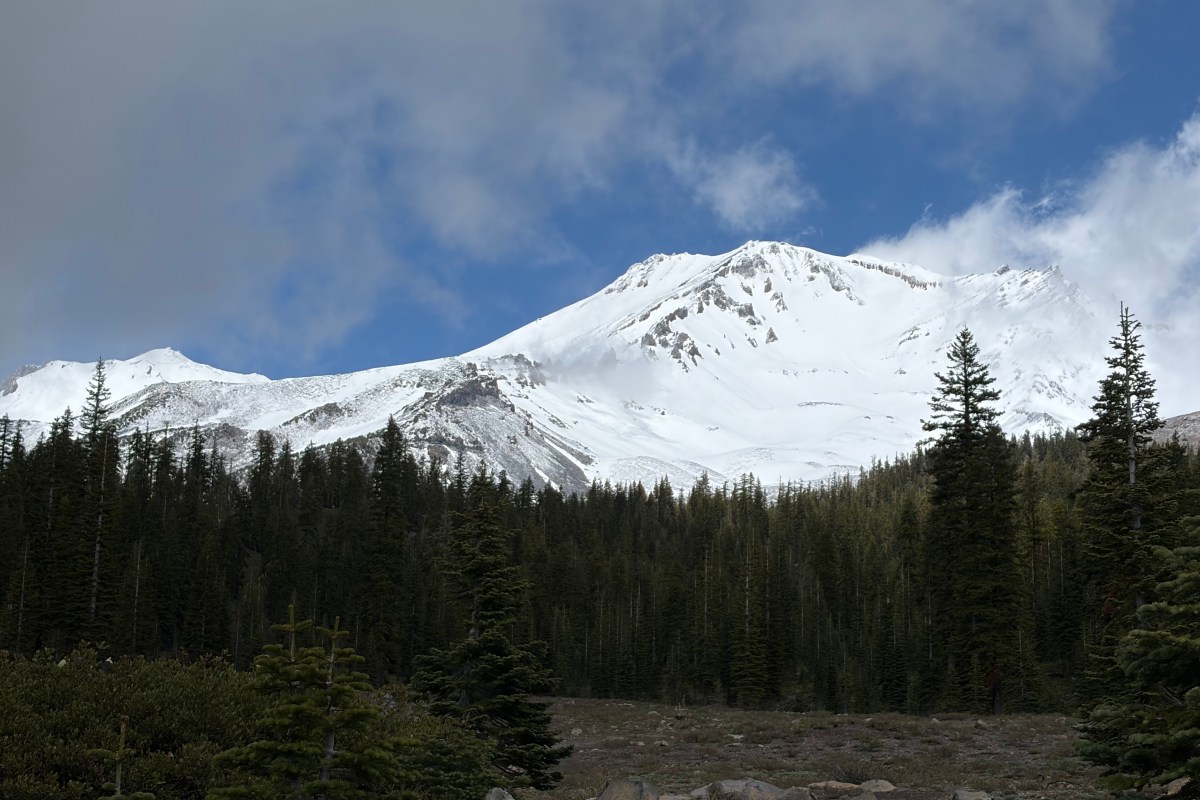
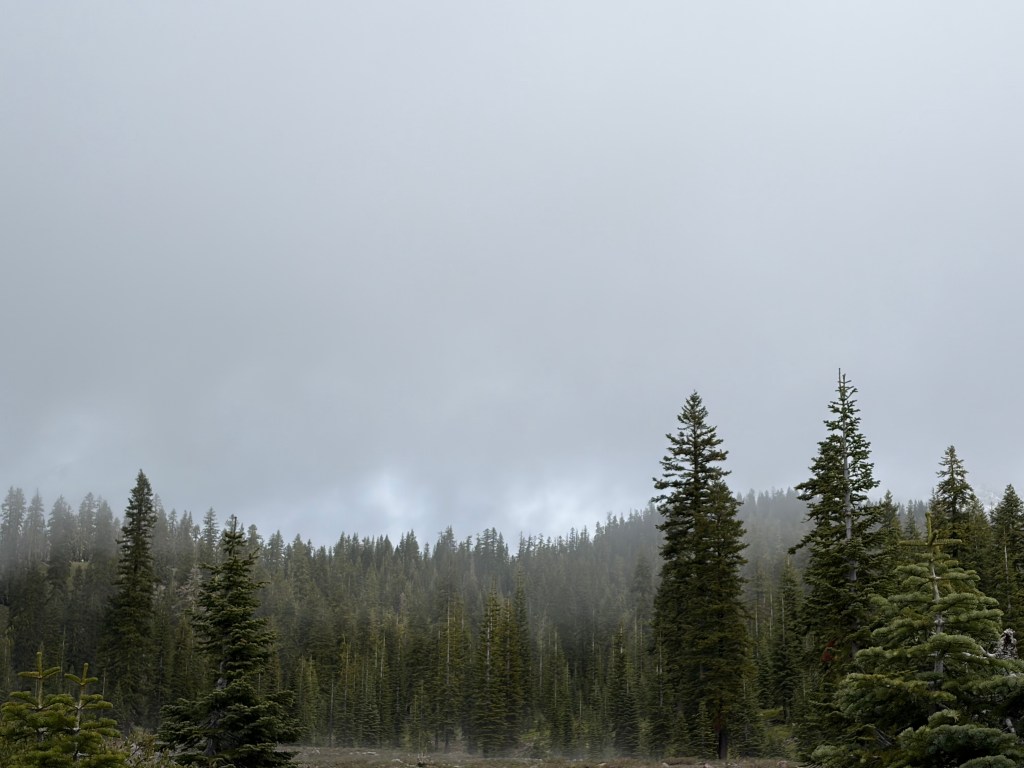
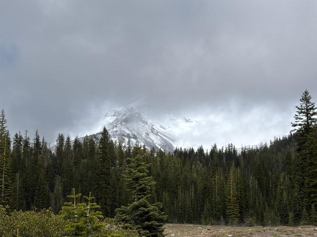
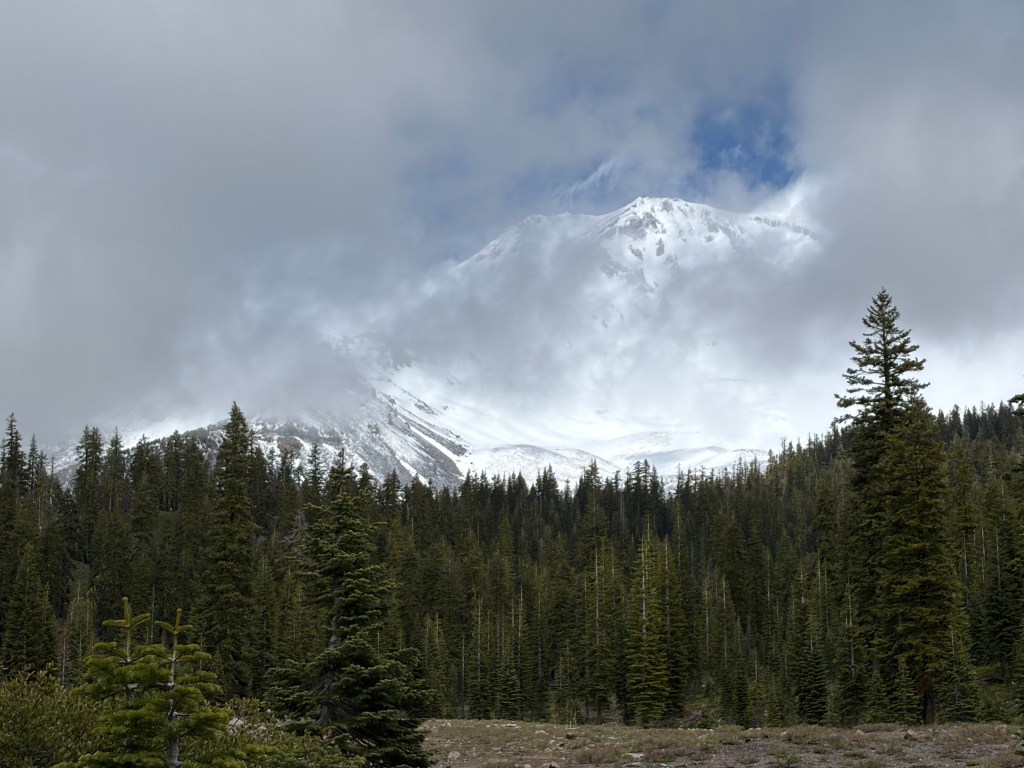
Above is what Mount Shasta looked like for the 15 seconds I got to see it mostly un-obscured. The weather in Mt. Shasta City (elev. 3,586 ft.) varied from overcast to mostly sunny during my stay. But at higher elevations, the views weren’t so good. These pictures of Mt. Shasta were taken from Bunny Flat (Elev. 6,950 ft.) I waited for about an hour for the clouds to repeatedly cycle through the pattern below, before I got the brief glimpse shown at the top of the page. Mt. Shasta itself has an elevation of 14,179 ft.

Mt. Shasta is a stratovolcano with an estimated volume of 85 cubic miles which makes it the most voluminous stratovolcano in the Cascades. It is considered potentially active and is on the Volcanic Legacy Scenic Byway.

Mt. Shasta is said to be an energy vortex and the root chakra of the world. I am not competent to judge. I will say that if you are interested in crystals, or spiritual journey, there are plenty of shops in Mt. Shasta City that a ready to help you out.

It is an interesting mix of people here. The larger area is sometimes referred to as the State of Jefferson. A large swath of southern Oregon and northern California that are generally more conservative and agriculturally and extractive industry focused than what they see in the capitals of either California or Oregon. The state is real enough that as I traveled the Shasta and Cascades region, I listened to Jefferson Public Radio.

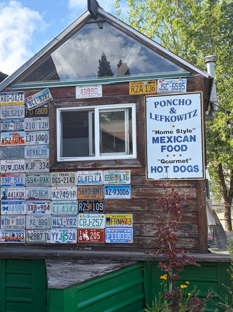
Mt. Shasta offers a good variety of dine-in and food trucks. Including this one serving Mexican and Gourmet Hot Dogs.

The weather was also not helpful in my failed attempt to hike from Castle Lake (Elev. 5,440) to Heart Lake (Elev. 6,037) for “astounding views” of Mt. Shasta. As I ascended, the weather deteriorated and I kept losing the trail. I chose to turn around and return to the car without reaching Heart Lake. For those interested, there is purported to be a dimensional portal on the back side of Castle Lake.

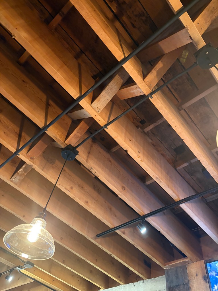
This picture doesn’t do the subject justice. These are the ceiling joists in Pipeline Craft Taps and Kitchen in Mt. Shasta City. They are full dimension 2X16, perfectly straight joists. Amazing.

Lassen Volcanic National Park

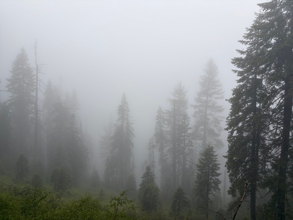
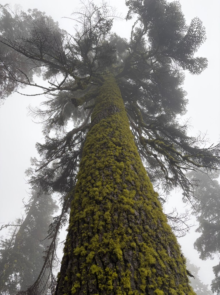
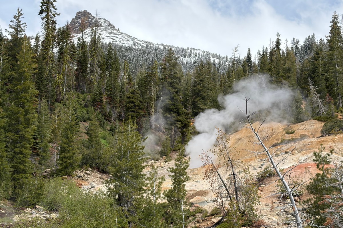
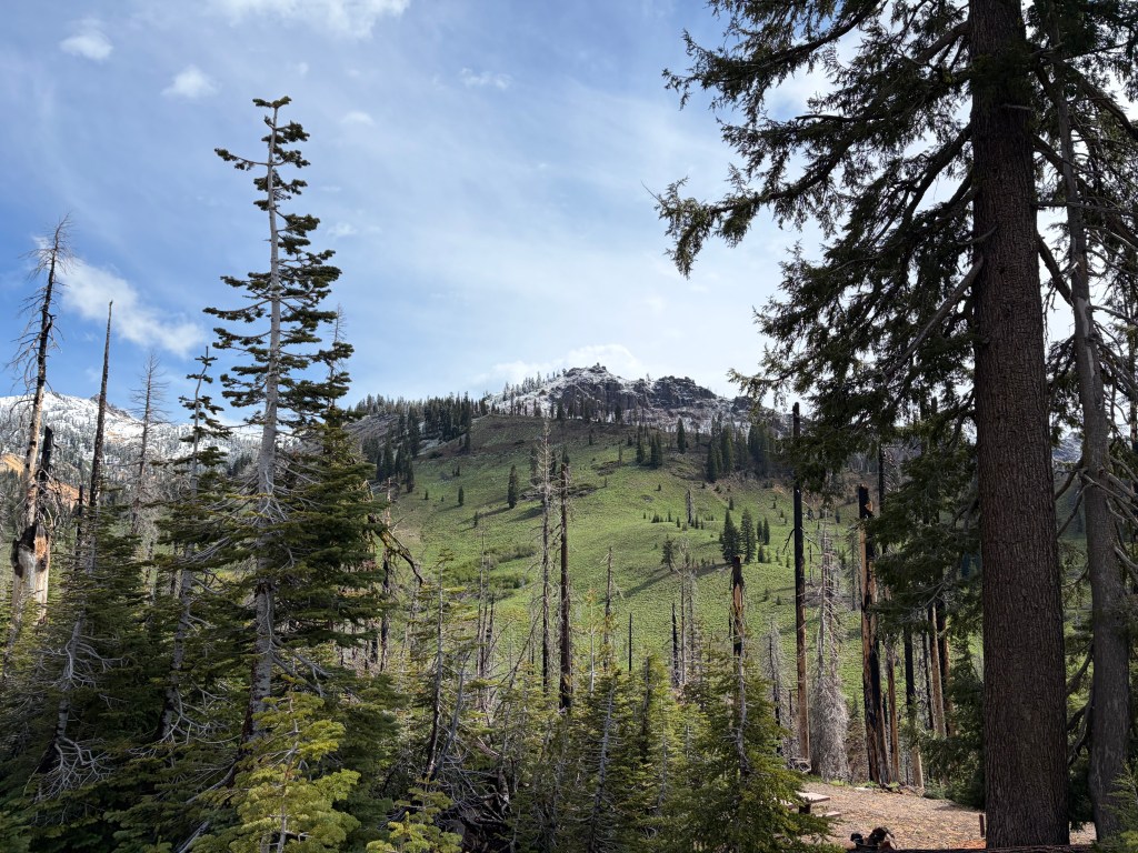
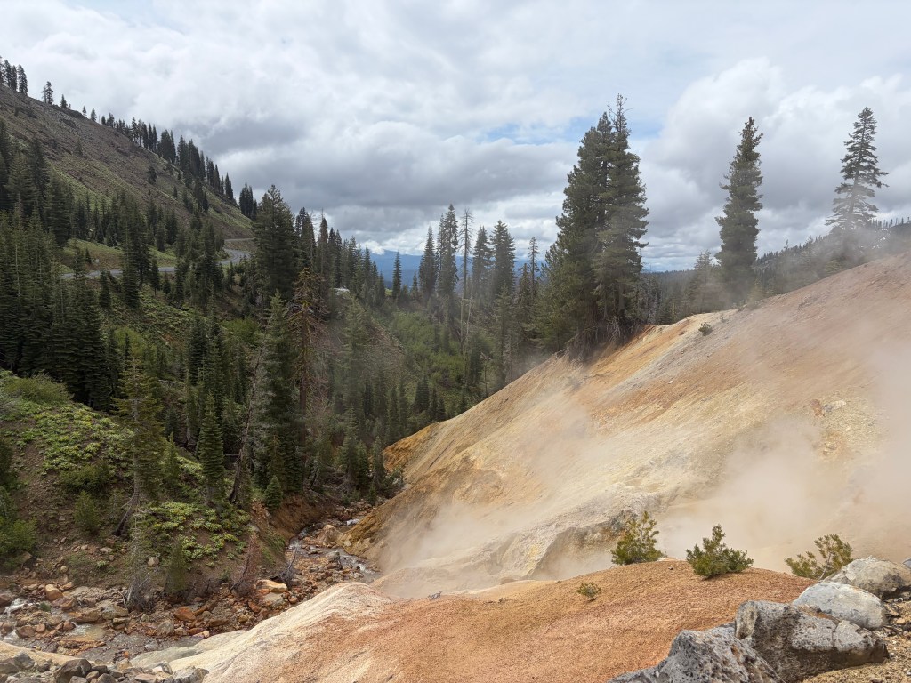
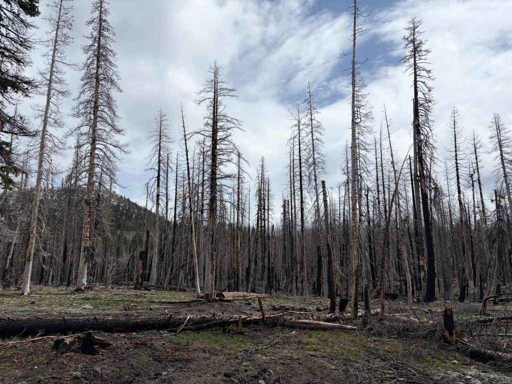
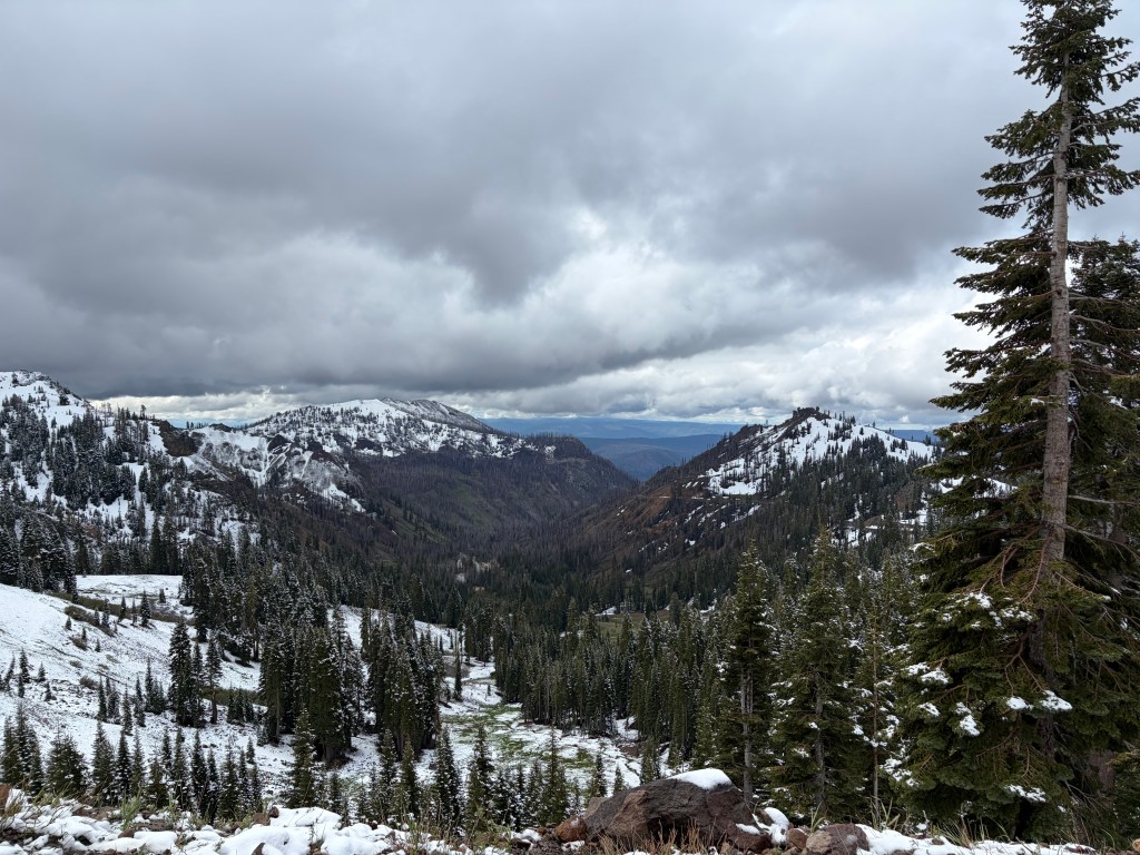
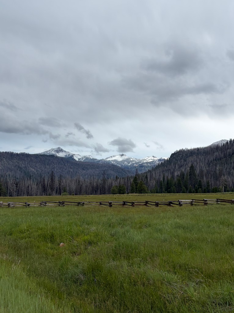
There is so much to say about Lassen Volcanic National Park. But I think, to me, the colors end up at the top of the list. The pictures above and below are my best effort to convey the shades of green, brown, gray, and white.

The million acre Dixie fire damaged substantial portions of the park in 2021.

Mount Lassen last erupted between 1914 and 1921 with the largest eruption in 1915. It is the only volcano besides Mt. St. Helen to erupt in the lower 48 in the 20th century. It sits at the end of the Cascade range and still has a functioning magma chamber beneath it.

Roll up all the grandeur and my thoughts turn to privilege. And so much more than the great personal privilege I have in being able to experience our national parks. As a nation, we are privileged to have numerous and varied national, state, and local parks. We were graced with vast resources and we had the vision to preserve a sampling as public goods. Inevitably, that brings me to consider our nation’s past commitment to preserve public goods, and the foresight to protect them while they were still largely extant. We have chosen to walk away from our communitarian founders and instead chosen to pursue private goods and personal gain. Our focus is on today, not on tomorrow.

Although Neil Young had something else in mind, I think his lyric speaks to our need for more public goods and fewer private claims on our majestic country.

Love is a rose, but you’d better not pick it
Only grows when its on the vine
Handful of thorns and you know you’ve missed it
Lose your love when you say the word mine

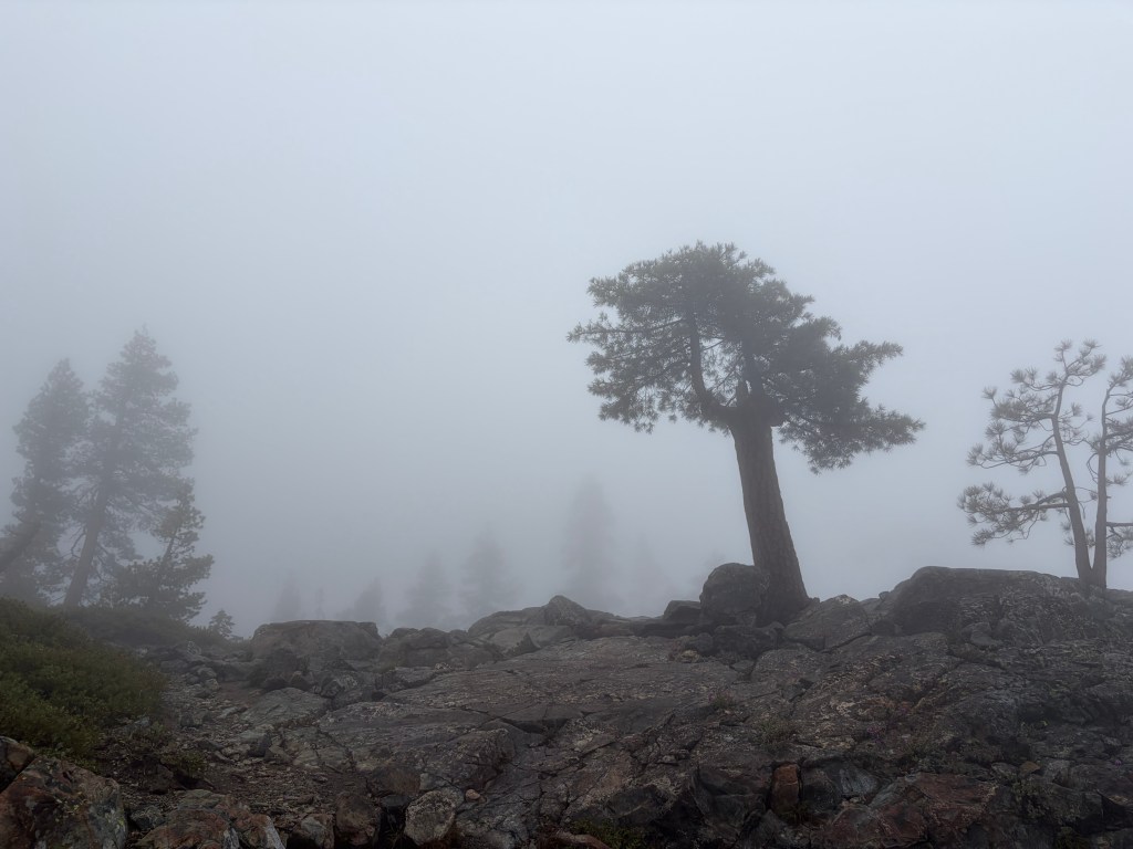
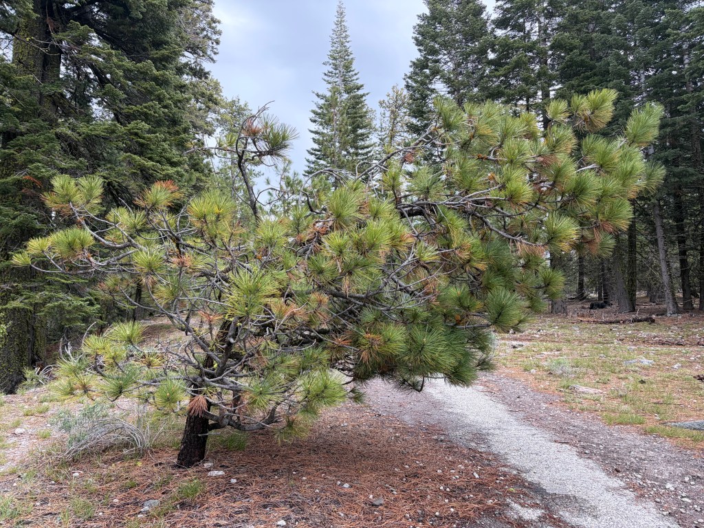
Has this tree been bowed by cares of the world? Or has it chosen to bow in an insouciant gesture of defiance to the world around it?

On the road again.

I know that I enjoy road trips. But I continue to be caught off-guard by how quickly they change my thoughts, my demeanor, my gestalt. Not so much Hunter Thompson as Robert Pirsig. Or Neil Peart. The flow of the road and the flow of my brain seem to merge. I can’t say I’m at peace, but I am more centered. The contrast to my state of being pre-trip suggests that I need to be a little more attentive and intentional about my path.

I flew into San Francisco, picked up a rental and headed east toward Sacremento and then up Rte. 99 through the northern Central Valley of California. Once on 99, the traffic thinned out and I drove through miles and miles of agricultural land. It seemed to be a mix of rice and nut trees. Miles and miles. The internet tells me that a single almond tree needs 12,000 to 15,000 liters of water per year, or about 3.75 liters per almond. And 378 liters to grow a kilogram of rice. California produces about a billion kilograms of tree nuts and 4 to 5 billion kilos of rice annually. That’s two crops. One has to wonder how things will look as climate continues to change.

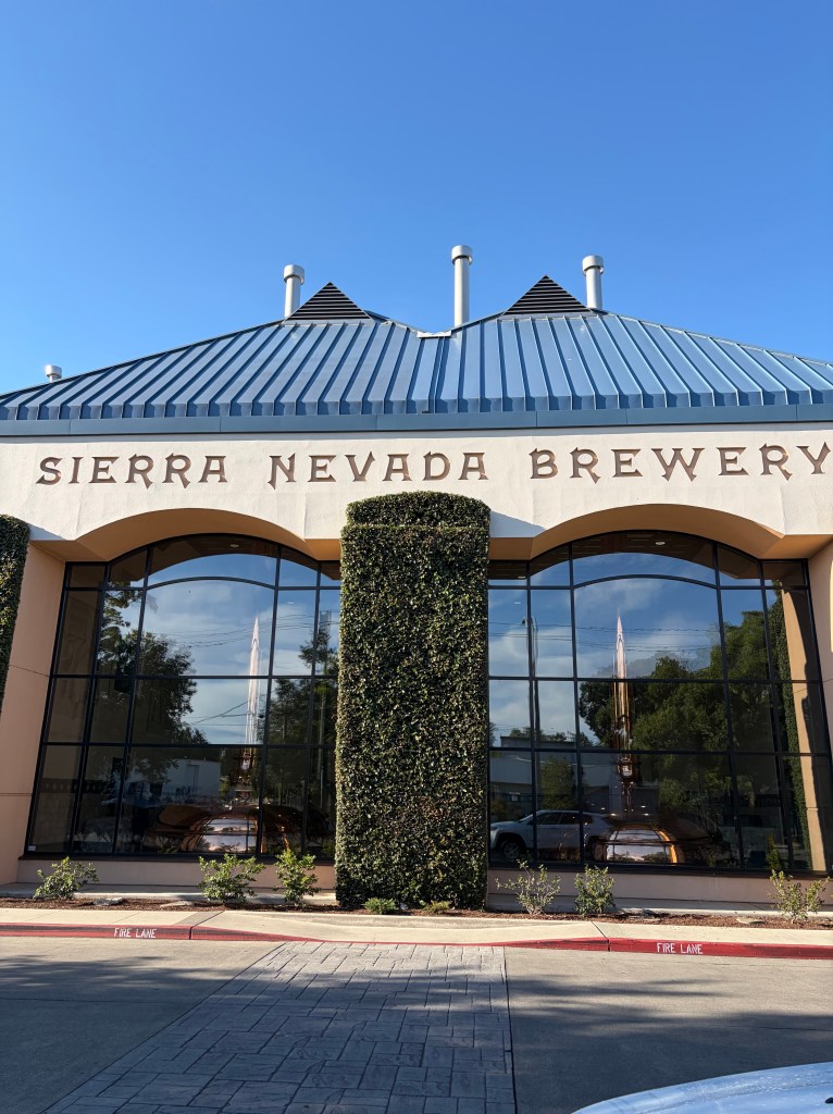
I spent the night in Chico, population about 110k. I was previously unfamiliar with Chico but did learn that it is the home of the Sierra Nevada Brewery. Water, water, everywhere.

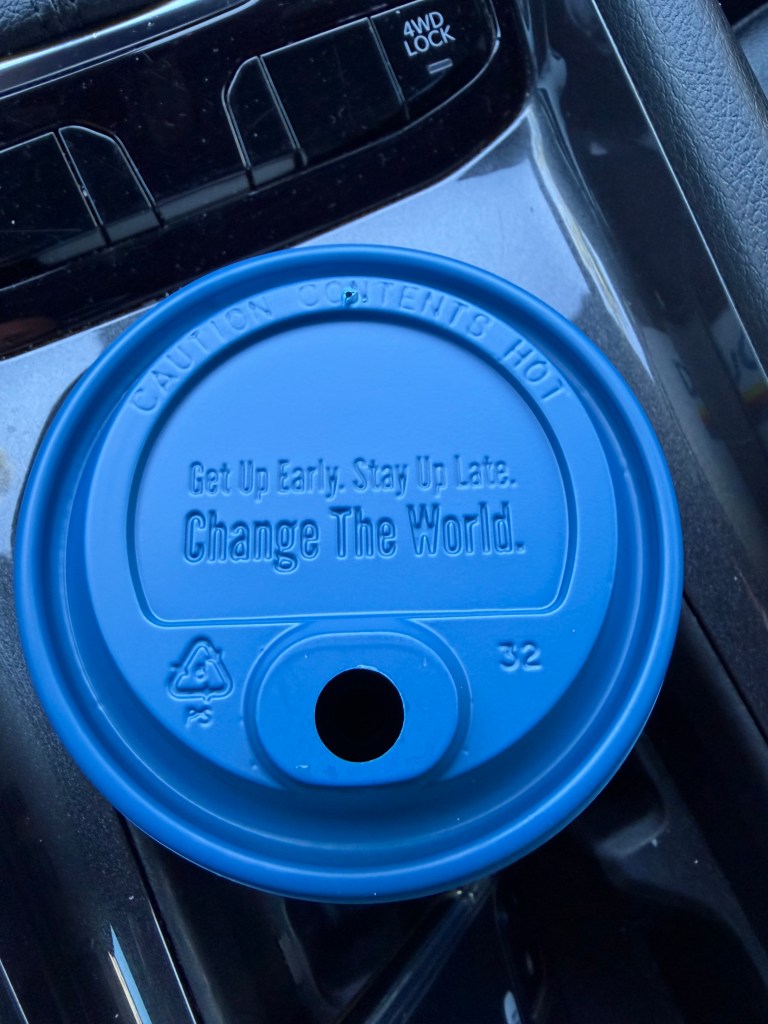
A thanks to Dutch Bros Coffee for getting me to at least think about getting up early and staying up late. That has not been my recent M.O.

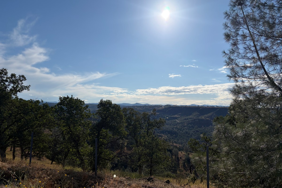
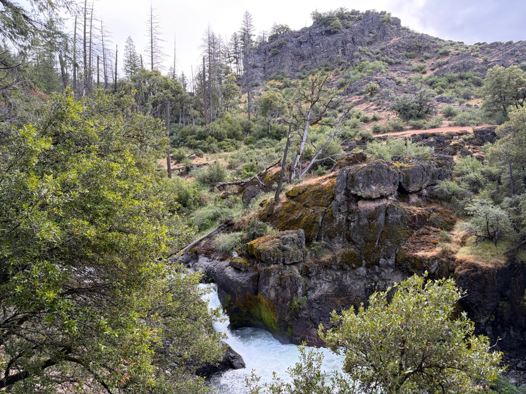
With coffee in hand I headed northeast out of Chico on CA Rte. 32, very winding, great scenery and gaining about 5,000 feet into the mountains. Highly recommended if the opportunity presents itself. That’s Deer Creek Falls below. And a view from the road side at the top of the page.

Rte. 32 tees into Rte. 89 and brought me onto the Volcanic Legacy Scenic Byway headed toward Lassen Volcanic National Park.